


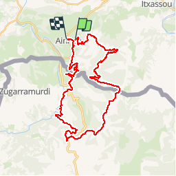

18.3 km | 29 km-effort


User


FREE GPS app for hiking
 SityTrail
IGN / Geographical institutes
SityTrail World
The world is yours!
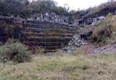
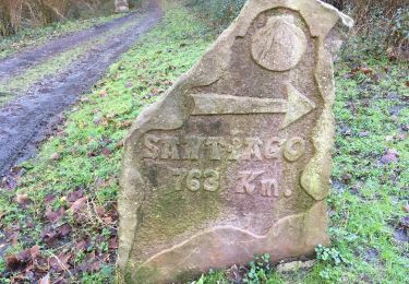
Trail Mountain bike of 39 km to be discovered at New Aquitaine, Pyrénées-Atlantiques, Ainhoa. This trail is proposed by kipoura.

Walking

Running

Walking

Walking
Walking
On foot
On foot
Walking
Superbe application. Je l'utilise déjà depuis un bon moment et les mises à jour régulières l'on rendu vraiment fonctionnelle. Je l'utilise en VTT essentiellement pour me repérer sur la carte et la trace pour faire le point sur ma situation géographique et modifier mon itinéraire en cas de besoin (chemin impraticable, raccourci, ....etc). pour le suivi de traces GPS je préfère mon GPS velo qui est mieux spécialisé mais peu pratique pour le repérage. Écran trop petit. Lors de mes périples VTT j'ai pu régulièrement remettre des randonneurs égarés avec des cartes papiers incapables de se repérer. Un petit point avec Sity Trail et le tour est joué.