9.3 km | 20 km-effort
sentier de l'imbut
mitch1915
User
Length
17.6 km
Boucle
Yes
Creation date :
2019-06-25 09:31:16.784
Updated on :
2019-06-25 17:42:38.193
7h26
Difficulty : Very difficult
FREE GPS app for hiking
About
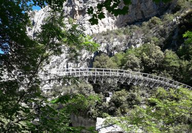
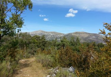
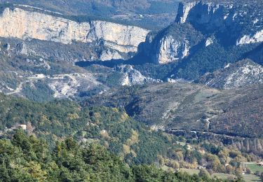
Trail Walking of 17.6 km to be discovered at Provence-Alpes-Côte d'Azur, Var, Aiguines. This trail is proposed by mitch1915.
Positioning
Country:
France
Region :
Provence-Alpes-Côte d'Azur
Department/Province :
Var
Municipality :
Aiguines
Location:
Unknown
Start:(Dec)
Start:(UTM)
286232 ; 4846148 (32T) N.
Comments
Trails nearby
Belvédère, gorges, Inbut, sentier Vidal
Walking
Difficult
(3)
Aiguines,
Provence-Alpes-Côte d'Azur,
Var,
France
3h 35min
Yes
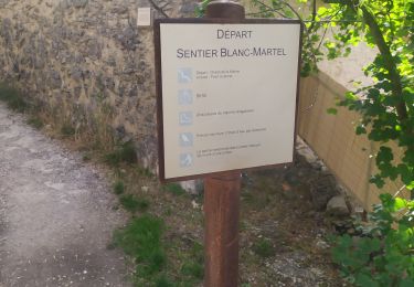
Sentier Blanc-Martel
Walking
Medium
(2)
La Palud-sur-Verdon,
Provence-Alpes-Côte d'Azur,
Alpes-de-Haute-Provence,
France
15.4 km | 31 km-effort
Unknown
No
Verdon : Sentier Blanc Martel
Walking
Medium
(1)
La Palud-sur-Verdon,
Provence-Alpes-Côte d'Azur,
Alpes-de-Haute-Provence,
France
16.1 km | 39 km-effort
6h 43min
No
Gorges du Verdon - La-Palud-sur-Verdon - Tour de la cime de Barbin
Walking
Medium
La Palud-sur-Verdon,
Provence-Alpes-Côte d'Azur,
Alpes-de-Haute-Provence,
France
13 km | 20 km-effort
4h 15min
Yes
bastidon
Walking
Medium
(1)
La Palud-sur-Verdon,
Provence-Alpes-Côte d'Azur,
Alpes-de-Haute-Provence,
France
18.4 km | 33 km-effort
Unknown
Yes
depart chalet de la maline
Walking
Very difficult
(1)
La Palud-sur-Verdon,
Provence-Alpes-Côte d'Azur,
Alpes-de-Haute-Provence,
France
14.3 km | 28 km-effort
6h 25min
Yes
sentier blanc Martel depuis Chalet les Malines
Walking
Difficult
La Palud-sur-Verdon,
Provence-Alpes-Côte d'Azur,
Alpes-de-Haute-Provence,
France
17.6 km | 39 km-effort
4h 37min
No
sentier de l'imbut par les cavaliers
Walking
Difficult
Aiguines,
Provence-Alpes-Côte d'Azur,
Var,
France
14 km | 38 km-effort
4h 58min
Yes
les malines au point sublime
Walking
Difficult
La Palud-sur-Verdon,
Provence-Alpes-Côte d'Azur,
Alpes-de-Haute-Provence,
France
15.7 km | 34 km-effort
4h 23min
No