

Neuwiller-lès-Saverne

VacheKiri67
User

Length
18.6 km

Max alt
402 m

Uphill gradient
633 m

Km-Effort
27 km

Min alt
182 m

Downhill gradient
633 m
Boucle
Yes
Creation date :
2014-12-10 00:00:00.0
Updated on :
2014-12-10 00:00:00.0
5h52
Difficulty : Difficult

FREE GPS app for hiking
About
Trail Walking of 18.6 km to be discovered at Grand Est, Bas-Rhin, Neuwiller-lès-Saverne. This trail is proposed by VacheKiri67.
Description
Faite le 11/08/2013 avec notre fils de 8 ans, un couple d'ami et leur fille.
D'après : Randonnées & Histoires N°11 p.83 : Sur les traces d'un saint, de châteaux et de grands personnages.
Positioning
Country:
France
Region :
Grand Est
Department/Province :
Bas-Rhin
Municipality :
Neuwiller-lès-Saverne
Location:
Unknown
Start:(Dec)
Start:(UTM)
382906 ; 5409103 (32U) N.
Comments
Trails nearby
Boucle ErnolsheimLesSaverne Chapelle St Michel


Horseback riding
Easy
(3)
Dossenheim-sur-Zinsel,
Grand Est,
Bas-Rhin,
France

22 km | 29 km-effort
1h 18min
Yes
2023-07-09 Picnic CVA Dossenheim sur Zinsel


Horseback riding
Medium
Dossenheim-sur-Zinsel,
Grand Est,
Bas-Rhin,
France

29 km | 39 km-effort
5h 45min
Yes

Triangle rouge


On foot
Easy
Dossenheim-sur-Zinsel,
Grand Est,
Bas-Rhin,
France

4 km | 5 km-effort
1h 8min
No
Rectangle bleu barré de blanc


On foot
Easy
Ernolsheim-lès-Saverne,
Grand Est,
Bas-Rhin,
France

5.6 km | 7.3 km-effort
1h 39min
No
Anneau jaune


On foot
Easy
Ernolsheim-lès-Saverne,
Grand Est,
Bas-Rhin,
France

3.6 km | 6.2 km-effort
1h 24min
Yes
Circuit du Frohnberg


On foot
Easy
Saint-Jean-Saverne,
Grand Est,
Bas-Rhin,
France

5.2 km | 6.5 km-effort
1h 28min
Yes

Croix bleu


On foot
Easy
Neuwiller-lès-Saverne,
Grand Est,
Bas-Rhin,
France

11.5 km | 17.7 km-effort
4h 0min
No

Disque bleu


On foot
Easy
Neuwiller-lès-Saverne,
Grand Est,
Bas-Rhin,
France

10.7 km | 15.4 km-effort
3h 30min
No
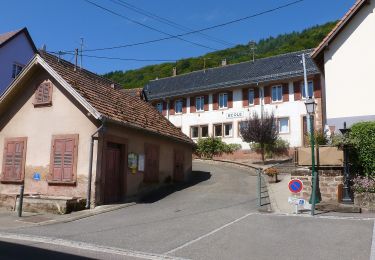
Triangle bleu


On foot
Easy
Weiterswiller,
Grand Est,
Bas-Rhin,
France

11.6 km | 17.3 km-effort
3h 56min
No


 SityTrail


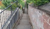
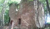
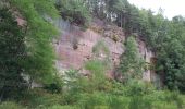
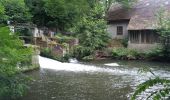
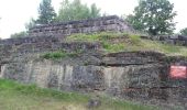

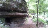
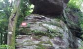
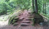
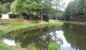
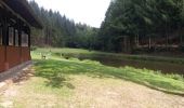
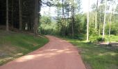
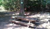
Randonnée forestière. Neuwiller-lès-Saverne est un superbe village.