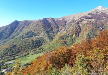
10.6 km | 24 km-effort
Roche Courbe
jcolonnadelega
User
Length
13.3 km
Max alt
1920 m
Uphill gradient
989 m
Km-Effort
27 km
Min alt
962 m
Downhill gradient
991 m
Boucle
Yes
Creation date :
2019-06-21 06:54:38.137
Updated on :
2019-06-21 17:45:06.182
5h31
Difficulty : Very easy
FREE GPS app for hiking
About
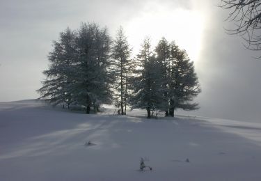
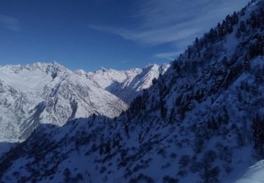
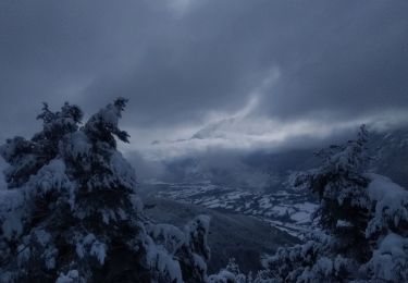
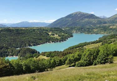
Trail Walking of 13.3 km to be discovered at Provence-Alpes-Côte d'Azur, Hautes-Alpes, Aspres-lès-Corps. This trail is proposed by jcolonnadelega.
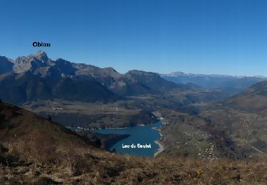
Positioning
Country:
France
Region :
Provence-Alpes-Côte d'Azur
Department/Province :
Hautes-Alpes
Municipality :
Aspres-lès-Corps
Location:
Unknown
Start:(Dec)
Start:(UTM)
735699 ; 4965302 (31T) N.
Comments
Trails nearby
Aspres les corps - Roche Courbe
Walking
Very difficult
(1)
Aspres-lès-Corps,
Provence-Alpes-Côte d'Azur,
Hautes-Alpes,
France
4h 53min
Yes
Tour du Vieux Chaillol 1/5 - Gite Les Paris au Gite Le Casset
Walking
Medium
(1)
Saint-Jacques-en-Valgodemard,
Provence-Alpes-Côte d'Azur,
Hautes-Alpes,
France
20 km | 27 km-effort
6h 30min
No
Pale ronde et col de près clos
Touring skiing
Easy
La Salette-Fallavaux,
Auvergne-Rhône-Alpes,
Isère,
France
10.1 km | 25 km-effort
6h 16min
Yes
tentative du Laton, pic gazonné
Touring skiing
Easy
Aspres-lès-Corps,
Provence-Alpes-Côte d'Azur,
Hautes-Alpes,
France
6.9 km | 15.9 km-effort
4h 36min
Yes
YHH081 Vallon de Prentiq
Walking
Very easy
(1)
Saint-Firmin,
Provence-Alpes-Côte d'Azur,
Hautes-Alpes,
France
6.7 km | 11.1 km-effort
2h 30min
Yes
croix de la plaigni
Walking
Easy
Monestier-d'Ambel,
Auvergne-Rhône-Alpes,
Isère,
France
13.2 km | 25 km-effort
4h 2min
No
La salette
Walking
Very difficult
La Salette-Fallavaux,
Auvergne-Rhône-Alpes,
Isère,
France
19 km | 37 km-effort
6h 37min
Yes
Roche Courbe en circuit
Walking
Medium
Aspres-lès-Corps,
Provence-Alpes-Côte d'Azur,
Hautes-Alpes,
France
9.9 km | 23 km-effort
5h 57min
Yes
Les pres hauts 6 kms
Walking
Saint-Firmin,
Provence-Alpes-Côte d'Azur,
Hautes-Alpes,
France
5.2 km | 9.6 km-effort
1h 55min
Yes