


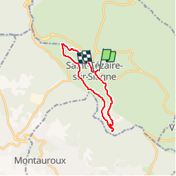

7.3 km | 10.3 km-effort


User


FREE GPS app for hiking
 SityTrail
IGN / Geographical institutes
SityTrail World
The world is yours!
Trail Walking of 10.4 km to be discovered at Provence-Alpes-Côte d'Azur, Maritime Alps, Saint-Cézaire-sur-Siagne. This trail is proposed by domi06.
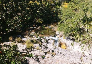
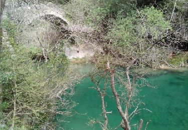
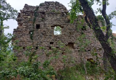
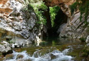
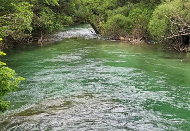
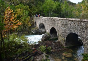
Première halte : la Chapelle Notre-Dame-de-Sardaigne et son sarcophage située dans le cimetière. Descente vers la chapelle ST Saturnin par un PR (balises jaunes 1,2,3,6,5). Revenir sur ses pas. Prendre le GR510, puis à nouveau PR balise jaune vers le pont des Tuves et sa belle cascade de tuf. Cheminement le long de la Siagne dans une belle forêt . Passage au dessus de l'ancienne papeterie jusqu'au pont des Moulins. Traverser puis remonter sur St Cezaire.
On foot
Walking
On foot

Walking
Walking
Walking
Walking
Walking
Walking