


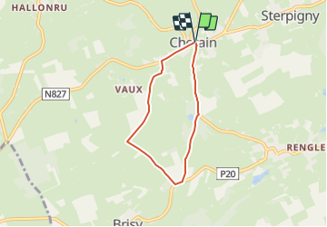


22 km | 26 km-effort

User


FREE GPS app for hiking
 SityTrail
IGN / Geographical institutes
SityTrail World
The world is yours!
Trail On foot of 4.7 km to be discovered at Wallonia, Luxembourg, Gouvy. This trail is proposed by vedeka.
Départ : église de Cherain
Balise : croix verte
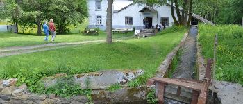
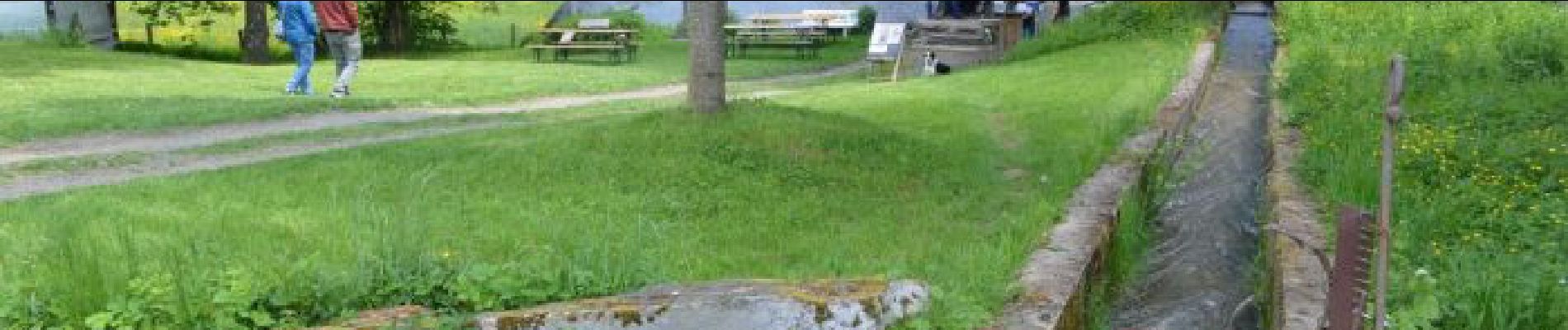
Le lavoir : à l'entrée du village, à droite de la route venant de Cherain, en retrait environ 200 m, petit lavoir datant de la fin du 19e siècle.
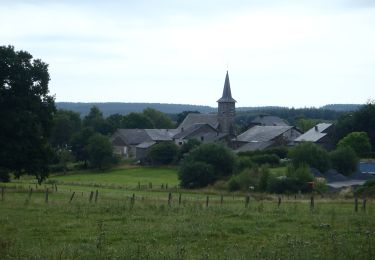
À voir aussi, le Moulin de Cherain, encore en activité (ouvert le jeudi de 10:00 à 18:00 et le samedi de 13:00 à 15:00)
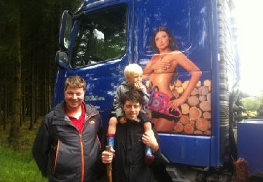
 - Photo 1")

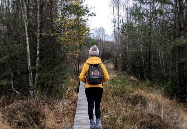
Walking
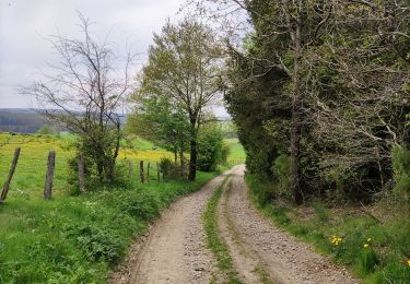
Walking
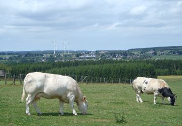
Walking
Walking
Walking
Walking

Walking
On foot