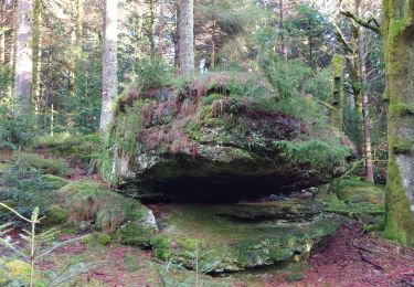
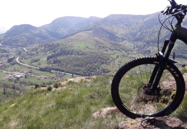
6.2 km | 9 km-effort
rupt croix du lait
lacote
User
Length
9.3 km
Max alt
898 m
Uphill gradient
203 m
Km-Effort
12 km
Min alt
785 m
Downhill gradient
205 m
Boucle
Yes
Creation date :
2019-06-18 12:07:54.252
Updated on :
2019-06-18 15:21:57.823
2h13
Difficulty : Medium
FREE GPS app for hiking
About
Trail Walking of 9.3 km to be discovered at Grand Est, Vosges, Rupt-sur-Moselle. This trail is proposed by lacote.
Positioning
Country:
France
Region :
Grand Est
Department/Province :
Vosges
Municipality :
Rupt-sur-Moselle
Location:
Unknown
Start:(Dec)
Start:(UTM)
328006 ; 5311469 (32T) N.
Comments
Trails nearby
Chaudefontaine -grand lac- Chaudefontaine
Walking
Difficult
Vecoux,
Grand Est,
Vosges,
France
8.6 km | 13.4 km-effort
3h 2min
Yes
tiens vagbey gorge de croqery
Walking
Medium
Thiéfosse,
Grand Est,
Vosges,
France
8.9 km | 12 km-effort
2h 47min
Yes
Chalet avuxon / La Vrille / Col de Xiard variante
Walking
Difficult
(1)
Vecoux,
Grand Est,
Vosges,
France
12.3 km | 19.1 km-effort
4h 20min
Yes
Col du rhamné depuis cirque de grettery
On foot
Easy
(1)
Saulxures-sur-Moselotte,
Grand Est,
Vosges,
France
5.4 km | 9 km-effort
2h 2min
Yes
08-10-22
Walking
Easy
Corravillers,
Bourgogne-Franche-Comté,
Haute-Saône,
France
5.6 km | 7.4 km-effort
1h 44min
Yes
Randonnée du 23/08/2022 à 17:17
Walking
Very difficult
Thiéfosse,
Grand Est,
Vosges,
France
18.5 km | 28 km-effort
6h 19min
Yes
Vosges 2019 : réserve de Rupt-sur-Moselle.ori
Walking
Medium
Rupt-sur-Moselle,
Grand Est,
Vosges,
France
11.4 km | 17.7 km-effort
5h 13min
Yes
les belvédères de la Haute vallée de la Moselle
Mountain bike
Very easy
Ramonchamp,
Grand Est,
Vosges,
France
30 km | 43 km-effort
3h 40min
Yes