


10.2 km | 12 km-effort


User


FREE GPS app for hiking
 SityTrail
IGN / Geographical institutes
SityTrail World
The world is yours!
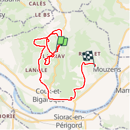
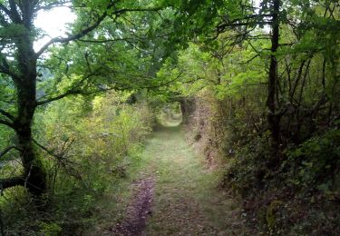
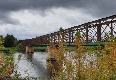
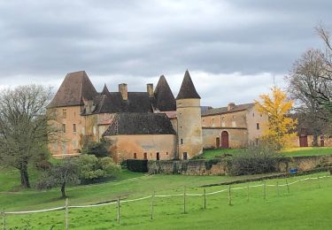
Trail Walking of 17.3 km to be discovered at New Aquitaine, Dordogne, Coux et Bigaroque-Mouzens. This trail is proposed by Daniel Daudrix.

Walking

Walking
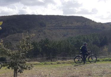
Electric bike
Hybrid bike
Walking
Walking

Walking