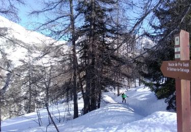
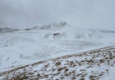
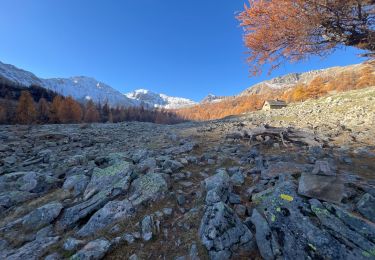
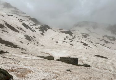
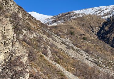
9.8 km | 17 km-effort
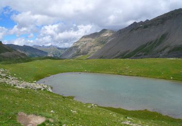
lac de privola
Mariephil
User
Length
9.1 km
Boucle
Yes
Creation date :
2019-06-16 08:31:54.492
Updated on :
2019-06-16 14:58:39.464
4h25
Difficulty : Very easy
FREE GPS app for hiking
About
Trail Walking of 9.1 km to be discovered at Provence-Alpes-Côte d'Azur, Maritime Alps, Saint-Dalmas-le-Selvage. This trail is proposed by Mariephil.
Positioning
Country:
France
Region :
Provence-Alpes-Côte d'Azur
Department/Province :
Maritime Alps
Municipality :
Saint-Dalmas-le-Selvage
Location:
Unknown
Start:(Dec)
Start:(UTM)
326226 ; 4902733 (32T) N.
Comments
Trails nearby
Col de Gialorgues
On foot
Easy
Saint-Dalmas-le-Selvage,
Provence-Alpes-Côte d'Azur,
Maritime Alps,
France
3h 52min
Yes
tentative de la crête de carpasse, et la croix de carlet
Touring skiing
Easy
Saint-Dalmas-le-Selvage,
Provence-Alpes-Côte d'Azur,
Maritime Alps,
France
16.2 km | 35 km-effort
7h 45min
Yes
Col de l’Escuzier
Snowshoes
Medium
Saint-Dalmas-le-Selvage,
Provence-Alpes-Côte d'Azur,
Maritime Alps,
France
13.4 km | 23 km-effort
4h 2min
Yes
Tête de la Clape
Walking
Medium
Saint-Dalmas-le-Selvage,
Provence-Alpes-Côte d'Azur,
Maritime Alps,
France
13 km | 25 km-effort
5h 2min
Yes
Crête de Pre Gaze et Abri de Giant, de Saint Dalmas de Selvage
Walking
Difficult
Saint-Dalmas-le-Selvage,
Provence-Alpes-Côte d'Azur,
Maritime Alps,
France
8.1 km | 16.6 km-effort
3h 46min
Yes
Col de la Braïssa
Walking
Difficult
Saint-Dalmas-le-Selvage,
Provence-Alpes-Côte d'Azur,
Maritime Alps,
France
8.9 km | 17.2 km-effort
3h 12min
Yes
Col de la Moutière
Snowshoes
Medium
Saint-Dalmas-le-Selvage,
Provence-Alpes-Côte d'Azur,
Maritime Alps,
France
17.8 km | 30 km-effort
5h 3min
Yes
Tête de Vinaigre
Snowshoes
Medium
Saint-Dalmas-le-Selvage,
Provence-Alpes-Côte d'Azur,
Maritime Alps,
France
10.5 km | 22 km-effort
4h 22min
Yes
Sestrieres - col de Braïssa
Walking
Difficult
Saint-Dalmas-le-Selvage,
Provence-Alpes-Côte d'Azur,
Maritime Alps,
France
9.4 km | 17.9 km-effort
3h 12min
Yes