


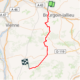

8.4 km | 10.6 km-effort

User


FREE GPS app for hiking
 SityTrail
IGN / Geographical institutes
SityTrail World
The world is yours!
Trail Bicycle tourism of 61 km to be discovered at Auvergne-Rhône-Alpes, Isère, Vaulx-Milieu. This trail is proposed by karawatsj.
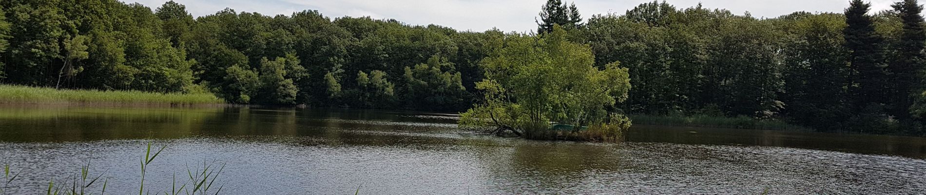
Mooie tocht door Auvergne-Isère en het vijvergebied rond Lieudieu. Wel heel vermoeiend.
Palais Ideal in Hauterives is echt de moeite om te bezoeken.


Walking
Walking
Mountain bike
Walking

Cycle

Walking
Walking
Walking
Walking