


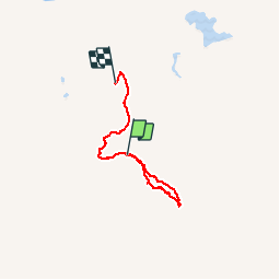

6.9 km | 8 km-effort

User


FREE GPS app for hiking
 SityTrail
IGN / Geographical institutes
SityTrail World
The world is yours!
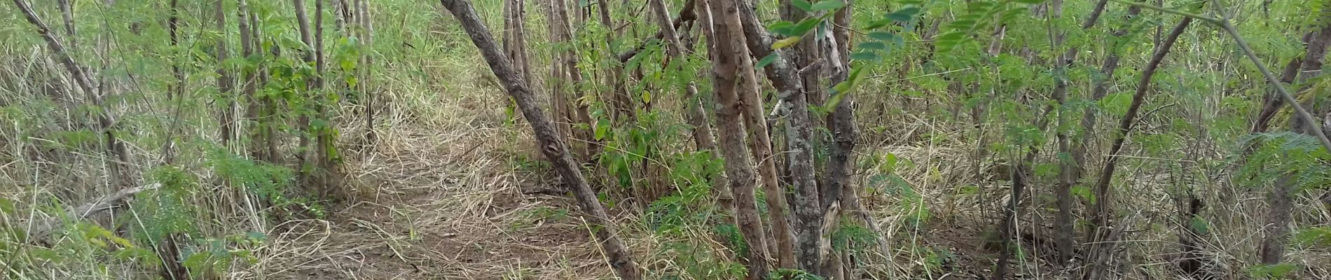
Trail Walking of 5.9 km to be discovered at Unknown, South Province, Païta. This trail is proposed by paimenfranck.
parcours randonnée


Road bike