


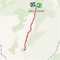


6.3 km | 9.9 km-effort

User


FREE GPS app for hiking
 SityTrail
IGN / Geographical institutes
SityTrail World
The world is yours!
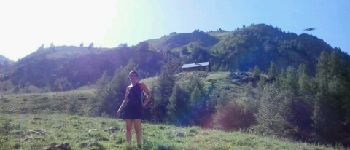
Trail Walking of 6.1 km to be discovered at Provence-Alpes-Côte d'Azur, Hautes-Alpes, Orcières. This trail is proposed by Kilroy06.
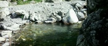
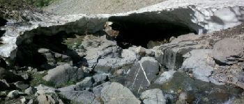
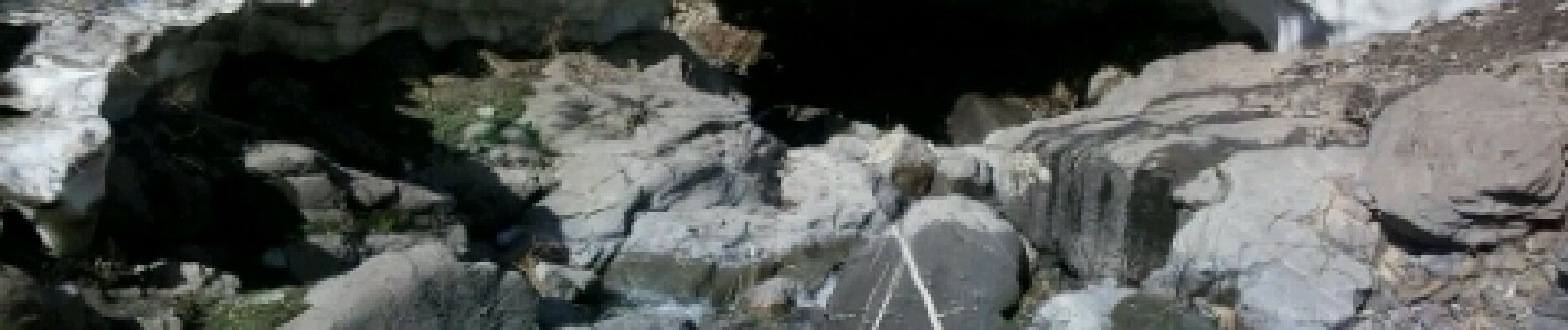
Un sentier au fond d'une très belle vallée. Balade tranquille. Petite montée le long d'un jolie torrent. Au mois d'aout cette année encore des névés le long du torrent.


Walking

Walking

Walking

Walking

Walking

Walking

Touring skiing

Walking

Walking