


24 km | 44 km-effort


User


FREE GPS app for hiking
 SityTrail
IGN / Geographical institutes
SityTrail World
The world is yours!
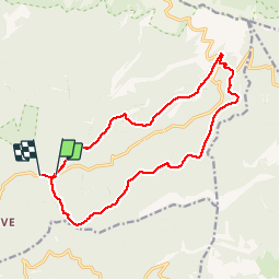
Trail Walking of 16.4 km to be discovered at Provence-Alpes-Côte d'Azur, Vaucluse, Bédoin. This trail is proposed by FLORENSAC.
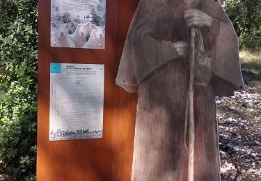
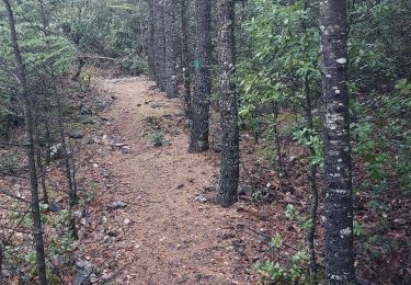
Bonjour une jolie randonnée en partant du Pavillon de Rolland
situé a gauche et en contre bas sur la route qui va au Mont Ventoux
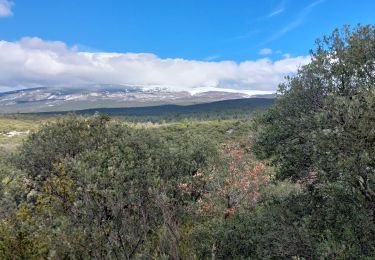
nous avons fait la pause pour déjeuner au milieu des chalets
retour en descendant la combe en face du parking du Chalet Reynard


Walking
Walking
Walking
Mountain bike
Walking
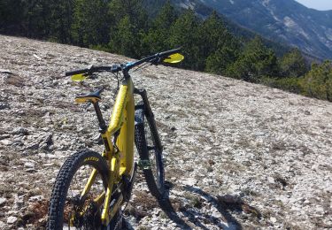
Mountain bike
Walking
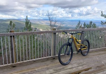
Mountain bike
Walking