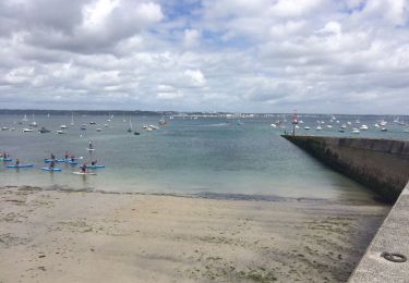
42 km | 47 km-effort
Concarneau pouldohan
PLUNET
User
Length
14.3 km
Max alt
17 m
Uphill gradient
112 m
Km-Effort
15.8 km
Min alt
-2 m
Downhill gradient
107 m
Boucle
No
Creation date :
2019-06-13 08:58:27.589
Updated on :
2019-06-13 09:00:35.867
3h30
Difficulty : Difficult
FREE GPS app for hiking
About
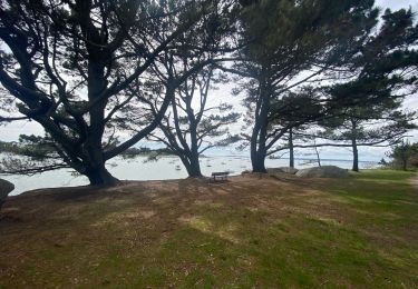
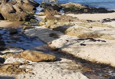
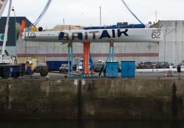
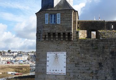
Trail Walking of 14.3 km to be discovered at Brittany, Finistère, Concarneau. This trail is proposed by PLUNET.
Description
Rando Nicolas Marcel 2019 1ere partie
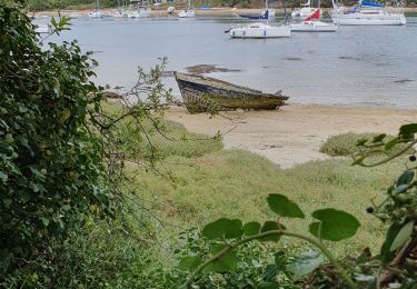
Positioning
Country:
France
Region :
Brittany
Department/Province :
Finistère
Municipality :
Concarneau
Location:
Unknown
Start:(Dec)
Start:(UTM)
431918 ; 5302577 (30T) N.
Comments
Trails nearby
Yregunc re ar wenodenn
Walking
Easy
Trégunc,
Brittany,
Finistère,
France
5.8 km | 6.2 km-effort
1h 33min
Yes
Sentier Côtier du Moros
On foot
Easy
Concarneau,
Brittany,
Finistère,
France
5 km | 6.1 km-effort
1h 22min
Yes
Beg Meil kerambigorn -Concarneau
Walking
Easy
Concarneau,
Brittany,
Finistère,
France
23 km | 26 km-effort
4h 49min
No
29-1-Concarneau Est
Walking
Easy
(1)
Concarneau,
Brittany,
Finistère,
France
12.4 km | 13.7 km-effort
3h 30min
Yes
Concarneau-Rosporden voie verte
Mountain bike
Medium
Concarneau,
Brittany,
Finistère,
France
25 km | 29 km-effort
1h 38min
Yes