

2019_06_Fontaine Heudebourg

jeanlucien
User

Length
10.8 km

Max alt
153 m

Uphill gradient
227 m

Km-Effort
13.8 km

Min alt
26 m

Downhill gradient
229 m
Boucle
Yes
Creation date :
2019-06-12 21:00:35.968
Updated on :
2019-06-13 13:19:55.2
2h46
Difficulty : Difficult

FREE GPS app for hiking
About
Trail Walking of 10.8 km to be discovered at Normandy, Eure, Clef-Vallée-d'Eure. This trail is proposed by jeanlucien.
Description
Attention pente bois des Bobettes très raide et très glossante par temps de pluie.
Metreville - Bois Ricard par route, car chemins disparus
Positioning
Country:
France
Region :
Normandy
Department/Province :
Eure
Municipality :
Clef-Vallée-d'Eure
Location:
Unknown
Start:(Dec)
Start:(UTM)
369501 ; 5443413 (31U) N.
Comments
Trails nearby

Ecardenville sur Eure (122)


Walking
Easy
(1)
Clef-Vallée-d'Eure,
Normandy,
Eure,
France

11.1 km | 13.2 km-effort
2h 54min
Yes
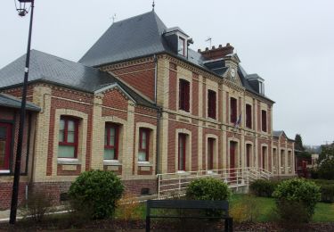
20240323-La Croix St Leuffroy


Walking
Medium
Clef-Vallée-d'Eure,
Normandy,
Eure,
France

11.1 km | 13.1 km-effort
3h 22min
Yes
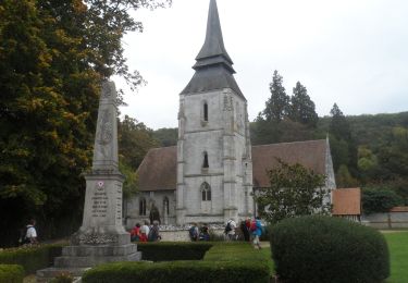
20231012-Amfreville sur Iton


Walking
Medium
(1)
Amfreville-sur-Iton,
Normandy,
Eure,
France

11.6 km | 14.4 km-effort
3h 17min
Yes
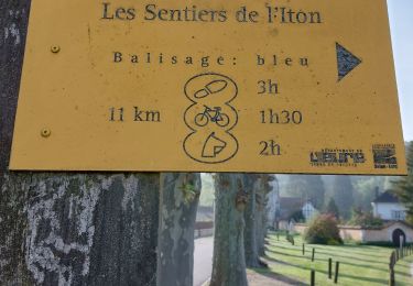
rando amfreville sur iton


Walking
Medium
Amfreville-sur-Iton,
Normandy,
Eure,
France

12.5 km | 15.4 km-effort
3h 18min
Yes

Ecardenville 6 novembre 2022


Walking
Difficult
(1)
Autheuil-Authouillet,
Normandy,
Eure,
France

10.8 km | 13 km-effort
2h 54min
Yes
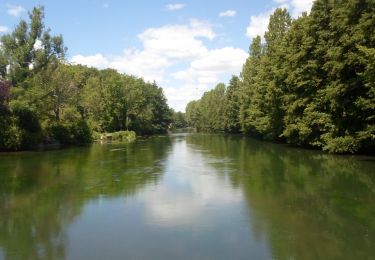
20220628-Heudreville le Jardin de René


Walking
Medium
Heudreville-sur-Eure,
Normandy,
Eure,
France

12 km | 14.1 km-effort
3h 37min
Yes
20220129-Amfreville sur Iton


Walking
Medium
Amfreville-sur-Iton,
Normandy,
Eure,
France

11.4 km | 14.2 km-effort
3h 5min
Yes
Acquigny -Vers le Becdal par la mare Hermier


Walking
Medium
Acquigny,
Normandy,
Eure,
France

13.3 km | 16 km-effort
3h 41min
Yes


 SityTrail


