


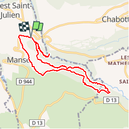

9.7 km | 16.2 km-effort

User

FREE GPS app for hiking
 SityTrail
IGN / Geographical institutes
SityTrail World
The world is yours!
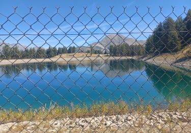
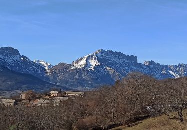
Trail Walking of 9.1 km to be discovered at Provence-Alpes-Côte d'Azur, Hautes-Alpes, Forest-Saint-Julien. This trail is proposed by Dervalmarc.
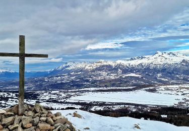
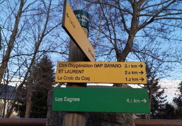
Très belle forêt de feuillus.


Walking
Walking
Walking

Walking
Walking
Snowshoes
Walking
Walking
Walking