Trail Horseback riding Kaysersberg-Vignoble - 000004 - Photo
 holtzv
holtzv

User GUIDE

© OpenStreetMap contributors
Length
Length
32 km
Max alt
Max alt
778 m
Uphill gradient
Uphill gradient
1006 m
Km-Effort
Km-Effort  
45 km
Min alt
Min alt
204 m
Downhill gradient
Downhill gradient
1006 m
Boucle
Boucle
Yes
Creation date :
2019-06-08 15:06:01.7
Updated on :
2019-06-11 11:24:46.492

(0 Reviews)

Horseback riding
Horseback riding
5h55
Difficulty : Very difficult

Scan this QR Code to open this trail in the SityTrail application

FREE GPS app for hiking

Logo SityTrail SityTrail

IGN / Geographical institutes

Download SityTrail from the App Store Download SityTrail from Google Play

Logo SityTrail SityTrail World

The world is yours!

Download SityTrail from the App Store Download SityTrail from Google Play Download SityTrail on Huawei AppGallery

About

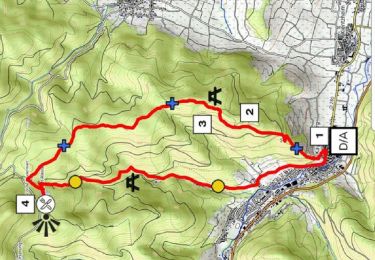
Trail Horseback riding of 32 km to be discovered at Grand Est, Haut-Rhin, Kaysersberg-Vignoble. This trail is proposed by holtzv.

Description

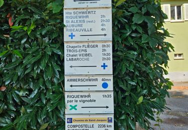
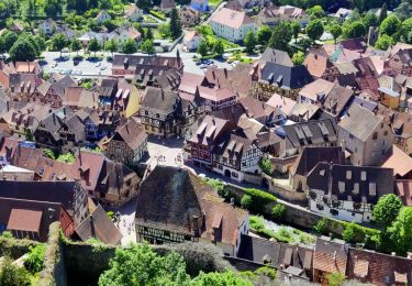
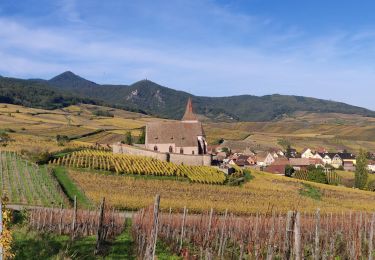
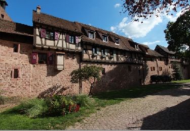
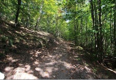
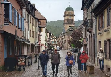
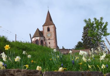
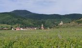
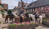
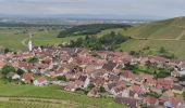
Journée à cheval au départ et à l’arrivée de Sigolsheim en passant par les nombreux villages viticoles : Kientsheim, Kaysersberg, l’auberge Obschel au-dessus de Trois Epis, Turckheim (où nous avons pu écouter les moteurs des anciennes voitures de courses de La Montée Historique des Trois-Epis), Niedermorschwihr, Katzenthal et son château du Wineck et Ammerschwihr.
Dommage que de nombreux chemins dans le vignoble soient bétonnés (Agriculture Bio …)

Elevation profile

Photos

Positioning

Country:
France
Region :
Grand Est
Department/Province :
Haut-Rhin
Municipality :
Kaysersberg-Vignoble
Location:
Unknown
Start:(UTM)
374194 ; 5332321 (32U) N.

Trails nearby

Trail Walking Ammerschwihr - D'Ammerschwihr aux Trois Epis - Photo
Walking
VacheKiri67

Walking

Difficult
(1)
Ammerschwihr, Grand Est, Haut-Rhin, France
17.1 km | 25 km-effort
5h 35min
Yes
Trail Walking Kaysersberg-Vignoble - Du ⛺️ aux 4 villages - Photo
Walking
GUIDE
mumu.larandonneuse

Walking

Medium
Kaysersberg-Vignoble, Grand Est, Haut-Rhin, France
12.9 km | 15.1 km-effort
3h 30min
Yes
Trail Walking Kaysersberg-Vignoble - 2021-05-30 Marche Kaysersberg Ursprung St Alexis - Photo
Walking
GUIDE
holtzv

Walking

Very difficult
Kaysersberg-Vignoble, Grand Est, Haut-Rhin, France
17.1 km | 26 km-effort
4h 46min
Yes
Trail Horseback riding Kaysersberg-Vignoble - 2019-10-26 CDTE67 Tournage Video Promotion TE - Photo
Horseback riding
GUIDE
holtzv

Horseback riding

Easy
Kaysersberg-Vignoble, Grand Est, Haut-Rhin, France
24 km | 29 km-effort
24min
No
Trail Walking Riquewihr - Sentier des grands crus - Photo
Walking
GUIDE
pascalou73

Walking

Medium
(2)
Riquewihr, Grand Est, Haut-Rhin, France
11.5 km | 14.4 km-effort
3h 7min
Yes
Trail Walking Kaysersberg-Vignoble - Le tour de Kysersberg - Photo
Walking
GUIDE
pascalou73

Walking

Medium
(1)
Kaysersberg-Vignoble, Grand Est, Haut-Rhin, France
7.9 km | 11.7 km-effort
2h 34min
Yes
Trail Walking Kaysersberg-Vignoble - De Kaysersberg à l'auberge St Alexis - Photo
Walking
GUIDE
mumu.larandonneuse

Walking

Difficult
Kaysersberg-Vignoble, Grand Est, Haut-Rhin, France
11.9 km | 18.8 km-effort
4h 15min
Yes
Trail Walking Katzenthal - Katzenthal  - Photo
Walking
2433e59

Walking

Difficult
Katzenthal, Grand Est, Haut-Rhin, France
16.4 km | 25 km-effort
5h 40min
Yes
Trail Walking Mittelwihr - Mittelwihr - Beblenheim - Zellenberg - Hunawihr  - Riquewihr -  Nécropole de Sigolsheim - Photo
Walking
VacheKiri67

Walking

Medium
Mittelwihr, Grand Est, Haut-Rhin, France
14.5 km | 19.3 km-effort
4h 8min
Yes


Close
My subscriptions