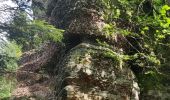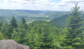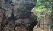

2019-06-08 Marche Allarmont et ses rochers

holtzv
User GUIDE

Length
10.7 km

Max alt
665 m

Uphill gradient
437 m

Km-Effort
16.5 km

Min alt
344 m

Downhill gradient
437 m
Boucle
Yes
Creation date :
2019-06-08 09:30:51.997
Updated on :
2019-06-11 09:16:28.642
2h55
Difficulty : Very easy

FREE GPS app for hiking
About
Trail Walking of 10.7 km to be discovered at Grand Est, Vosges, Allarmont. This trail is proposed by holtzv.
Description
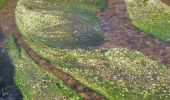
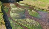
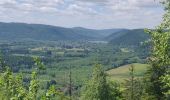
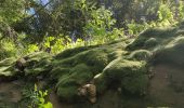
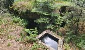
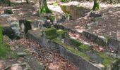
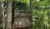
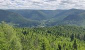
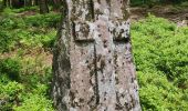
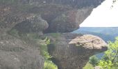
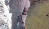
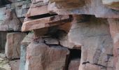
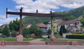
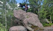
Marche en aller-retour depuis Allarmont pour voir tous ses rochers : Passage par la roche de l’Aigle, les roches Ganaux et son abri, le col de la Borne, la roche aux Cochons, la Croix Bodin et le rocher de Rambiroche
Positioning
Country:
France
Region :
Grand Est
Department/Province :
Vosges
Municipality :
Allarmont
Location:
Unknown
Start:(Dec)
Start:(UTM)
353173 ; 5371944 (32U) N.
Comments
Trails nearby

ar parcours attelage sortie celles sur plaine 6.11.22


Coupling
Very easy
(1)
Celles-sur-Plaine,
Grand Est,
Vosges,
France

13.4 km | 16.6 km-effort
Unknown
Yes
Vexaincourt - lac et chapelle de la Maix


Walking
Medium
Vexaincourt,
Grand Est,
Vosges,
France

16.3 km | 24 km-effort
3h 50min
Yes
Tête du coquin


Walking
Very difficult
Celles-sur-Plaine,
Grand Est,
Vosges,
France

11.6 km | 19 km-effort
2h 15min
Yes
tête du coquin


Walking
Difficult
Celles-sur-Plaine,
Grand Est,
Vosges,
France

10.6 km | 17.6 km-effort
2h 35min
Yes
scierie Machet


Walking
Medium
Saint-Sauveur,
Grand Est,
Meurthe-et-Moselle,
France

18.3 km | 25 km-effort
20h 36min
Yes
Sentier des Sources


On foot
Easy
Celles-sur-Plaine,
Grand Est,
Vosges,
France

4.5 km | 6.1 km-effort
1h 22min
No

fady col de praye


Horseback riding
Difficult
Moussey,
Grand Est,
Vosges,
France

30 km | 41 km-effort
4h 58min
Yes
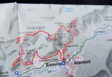
Balades féeriques des roches


Walking
Easy
Allarmont,
Grand Est,
Vosges,
France

10.8 km | 16.6 km-effort
3h 53min
Yes
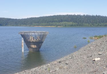
Du lac de la Plaine au lac de Vieux-Pré à Pierre-Percée


Walking
Easy
Celles-sur-Plaine,
Grand Est,
Vosges,
France

11.5 km | 16.1 km-effort
3h 12min
Yes


 SityTrail


