Trail Walking Cervione - Belvédère de Cervione - Photo

Belvédère de Cervione

 helmut68
helmut68

User

© OpenStreetMap contributors
Length
Length
7.9 km
Max alt
Max alt
794 m
Uphill gradient
Uphill gradient
471 m
Km-Effort
Km-Effort  
14.2 km
Min alt
Min alt
315 m
Downhill gradient
Downhill gradient
487 m
Boucle
Boucle
Yes
Creation date :
2019-06-05 08:32:45.411
Updated on :
2019-06-06 06:57:23.498

(0 Reviews)

Walking
Walking
3h36
Difficulty : Medium

Scan this QR Code to open this trail in the SityTrail application

FREE GPS app for hiking

Logo SityTrail SityTrail
IGN / Geographical institutes

Download SityTrail from the App Store Download SityTrail from Google Play

Logo SityTrail SityTrail World

The world is yours!

Download SityTrail from the App Store Download SityTrail from Google Play Download SityTrail on Huawei AppGallery

About

Trail Walking of 7.9 km to be discovered at Corsica, Haute-Corse, Cervione. This trail is proposed by helmut68.

Description

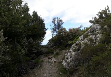
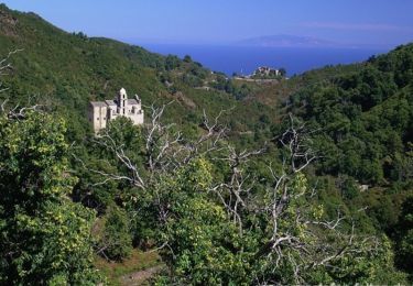
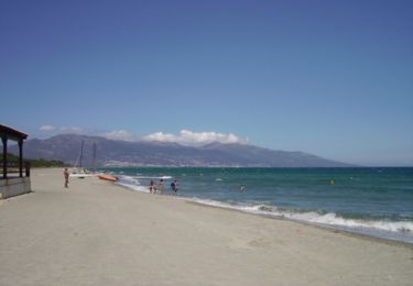
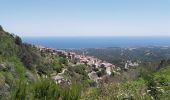
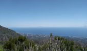
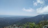
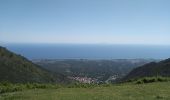
Le belvédère de Cervione est un sommet facilement accessible par la côte orientale . Il nous offre une vue plongeante sur les plages situés entre les lacs lagunaires de Biguglia et de Diane
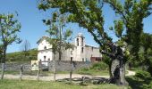
Une fois partie de la grande rue ,au bout de la  promenade, direction Piedicroce,prendre une petite route plus escarpée bifurque tout à droite ( traversa Suprana ),suivre la " Strada di a Madonna " passez un petit pont avec à sa droite une fontaine . Attention à la sixième croix voir l'écrito sur un arbre ,c' est ici que vous pouvez choisir le balisage " rouge" ou bien de continuer le chemin de croix  pour finalement arriver à la " Chapelle a Madonna " .

Elevation profile

Photos

Positioning

Country:
France
Region :
Corsica
Department/Province :
Haute-Corse
Municipality :
Cervione
Location:
Unknown
Start:(UTM)
540343 ; 4686633 (32T) N.

Trails nearby

Trail Walking Valle-di-Campoloro - 20 CERVIONE SCUBICCIA - Photo
Walking
LUTZMarc

Walking

Very easy
Valle-di-Campoloro, Corsica, Haute-Corse, France
11.6 km | 22 km-effort
4h 29min
Yes
Trail Walking San-Nicolao - Pont Génois et cascade sur le Bucatoggio - Photo
Walking
michelek

Walking

Easy
San-Nicolao, Corsica, Haute-Corse, France
7 km | 11.3 km-effort
2h 33min
Yes
Trail Walking Santa-Reparata-di-Moriani - GR® de Corse - Mare a Mare Nord - De I Pienti à Pianellu - Photo
Walking
tracegps

Walking

Difficult
Santa-Reparata-di-Moriani, Corsica, Haute-Corse, France
22 km | 40 km-effort
8h 30min
No
Trail Walking San-Nicolao - GR® de Corse - Mare a Mare Nord - De Moriani à I Penti - Photo
Walking
tracegps

Walking

Medium
San-Nicolao, Corsica, Haute-Corse, France
9.9 km | 16.7 km-effort
3h 30min
No
Trail Walking San-Nicolao - Moriano Plage de la Résidence Sognu à la Madona - Photo
Walking
fcourouble

Walking

Easy
San-Nicolao, Corsica, Haute-Corse, France
5.5 km | 5.9 km-effort
1h 20min
Yes
Trail Walking Chiatra - chiatra - Photo
Walking
jeanyvesblay

Walking

Medium
Chiatra, Corsica, Haute-Corse, France
6.9 km | 11.1 km-effort
2h 31min
No
Trail Road bike San-Nicolao - Soir  - Photo
Road bike
corsicaz

Road bike

Easy
San-Nicolao, Corsica, Haute-Corse, France
11.6 km | 15.4 km-effort
48min
No
Trail Walking Valle-di-Campoloro - cervione - santa maria - Photo
Walking
lolofon

Walking

Easy
Valle-di-Campoloro, Corsica, Haute-Corse, France
6.1 km | 9.2 km-effort
1h 47min
Yes
Trail Cycle Cervione - Randonnée des cols Corse étape 18 - Photo
Cycle
lagardienne

Cycle

Very difficult
Cervione, Corsica, Haute-Corse, France
101 km | 131 km-effort
10h 28min
No


Close
My subscriptions