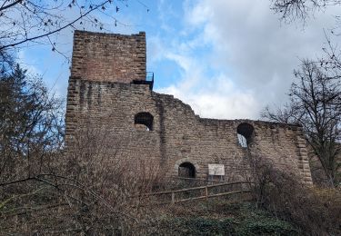
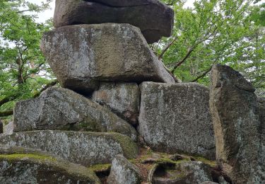
11.7 km | 17.7 km-effort
WINTZENHEIM 19 juin 2019
Corsica76
User
Length
12.5 km
Max alt
427 m
Uphill gradient
459 m
Km-Effort
18.6 km
Min alt
220 m
Downhill gradient
458 m
Boucle
Yes
Creation date :
2019-06-03 16:39:33.685
Updated on :
2019-06-03 16:41:50.027
3h53
Difficulty : Difficult
FREE GPS app for hiking
About
Trail Walking of 12.5 km to be discovered at Grand Est, Haut-Rhin, Wintzenheim. This trail is proposed by Corsica76.
Positioning
Country:
France
Region :
Grand Est
Department/Province :
Haut-Rhin
Municipality :
Wintzenheim
Location:
Unknown
Start:(Dec)
Start:(UTM)
372199 ; 5324751 (32U) N.
Comments
Trails nearby
4 châteaux Wettolsheim Husseren
Walking
Medium
(1)
Wettolsheim,
Grand Est,
Haut-Rhin,
France
4h 28min
No
Trois Épis le rocher du corbeau
Walking
Easy
(2)
Ammerschwihr,
Grand Est,
Haut-Rhin,
France
4.4 km | 5.7 km-effort
59min
Yes
suuntoapp-Hiking-2023-12-29T09-05-16Z
Walking
Medium
Eguisheim,
Grand Est,
Haut-Rhin,
France
22 km | 32 km-effort
7h 16min
Yes
Wintzenheim - Le Stauffen - Col de Marbach - Soultzbach
Mountain bike
Medium
(1)
Wintzenheim,
Grand Est,
Haut-Rhin,
France
23 km | 31 km-effort
2h 4min
Yes
Château de Pflixbourg depuis Saint Gilles
Walking
Easy
(1)
Wintzenheim,
Grand Est,
Haut-Rhin,
France
3.7 km | 6.2 km-effort
1h 21min
Yes
eguishem- vignoble et château
Walking
Medium
Eguisheim,
Grand Est,
Haut-Rhin,
France
9.3 km | 13 km-effort
2h 34min
Yes
SityTrail - 2709807 - eguisheim-husseren-les-chateux-
Walking
Medium
(1)
Eguisheim,
Grand Est,
Haut-Rhin,
France
8.4 km | 11.5 km-effort
2h 37min
Yes
Reco Rando du CLAS du 18/07/2024. par PBo
Walking
Very difficult
(1)
Wintzenheim,
Grand Est,
Haut-Rhin,
France
18.9 km | 27 km-effort
4h 43min
Yes
Katzenthal
Walking
Difficult
Katzenthal,
Grand Est,
Haut-Rhin,
France
16.4 km | 25 km-effort
5h 40min
Yes