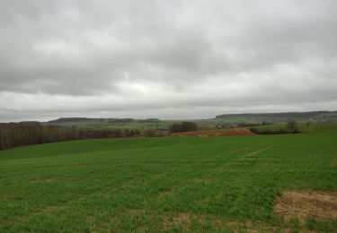
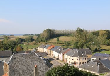
13.1 km | 16.4 km-effort
AVIOTH -19 18:46:07
ChantalThomas
User
Length
14.6 km
Max alt
329 m
Uphill gradient
298 m
Km-Effort
18.6 km
Min alt
199 m
Downhill gradient
303 m
Boucle
Yes
Creation date :
2019-06-03 04:59:09.399
Updated on :
2019-06-03 04:59:09.399
--
Difficulty : Unknown
FREE GPS app for hiking
About
Trail Walking of 14.6 km to be discovered at Grand Est, Meuse, Avioth. This trail is proposed by ChantalThomas.
Positioning
Country:
France
Region :
Grand Est
Department/Province :
Meuse
Municipality :
Avioth
Location:
Unknown
Start:(Dec)
Start:(UTM)
672879 ; 5493182 (31U) N.
Comments
Trails nearby
Boucle de promenade à Avioth 2, France
On foot
Easy
Breux,
Grand Est,
Meuse,
France
9.3 km | 11.3 km-effort
2h 33min
Yes
Boucle de promenade à Avioth 1, France
On foot
Easy
(1)
Avioth,
Grand Est,
Meuse,
France
7.4 km | 9.2 km-effort
2h 4min
Yes
Boucle de promenade à Montmédy
On foot
Easy
Montmédy,
Grand Est,
Meuse,
France
5.8 km | 7.8 km-effort
1h 46min
No
de Sommethonne à Montquintin
On foot
Very difficult
(1)
Meix-devant-Virton,
Wallonia,
Luxembourg,
Belgium
13.8 km | 17.9 km-effort
Unknown
Yes
Avioth 3
Walking
Medium
(1)
Thonnelle,
Grand Est,
Meuse,
France
11.7 km | 14.9 km-effort
3h 0min
Yes
Gite-de-gaume : Entre France et Belgique
Walking
Difficult
Meix-devant-Virton,
Wallonia,
Luxembourg,
Belgium
26 km | 33 km-effort
4h 56min
Yes
“Walk in the hollow of the woods”
On foot
Easy
Meix-devant-Virton,
Wallonia,
Luxembourg,
Belgium
4.7 km | 5.9 km-effort
1h 19min
Yes
de sommethonne à florenville
Walking
Difficult
Meix-devant-Virton,
Wallonia,
Luxembourg,
Belgium
33 km | 41 km-effort
5h 45min
No