


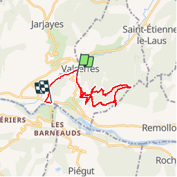

14.2 km | 23 km-effort

User


FREE GPS app for hiking
 SityTrail
IGN / Geographical institutes
SityTrail World
The world is yours!
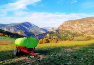
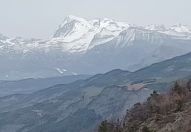
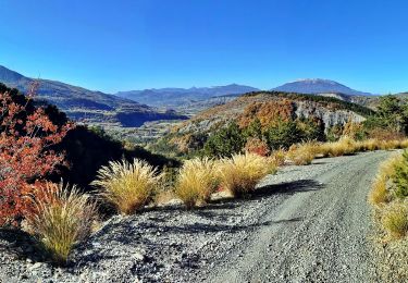
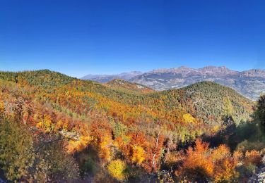
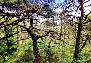
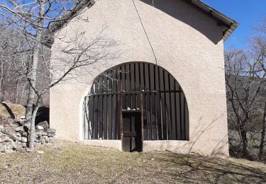
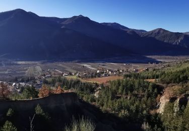
Trail Walking of 12.9 km to be discovered at Provence-Alpes-Côte d'Azur, Hautes-Alpes, Valserres. This trail is proposed by Dervalmarc.
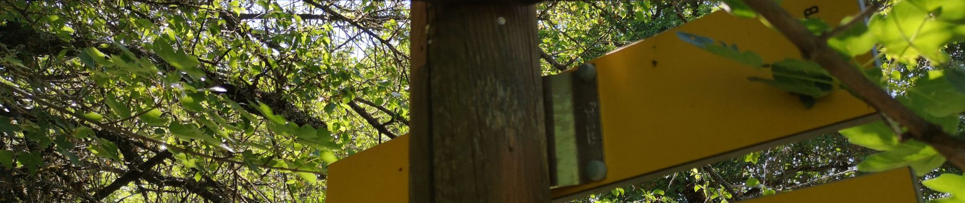
Attention randonnée très mal balise.
Suivre bien les quelques cairns aux intersections de la piste.
Privilégier la piste à la montée.
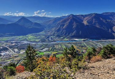
Le sentier rando très raide avec des pentes à plus de 40 pour cent.
Prudence à la descente surtout s'il a plu.
Rando sportive de moyen à difficile.


Walking
Walking
Electric bike
Walking
Electric bike
Mountain bike
Walking
Walking
Walking