


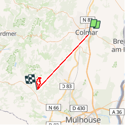

11.2 km | 11.9 km-effort


User

FREE GPS app for hiking
 SityTrail
IGN / Geographical institutes
SityTrail World
The world is yours!
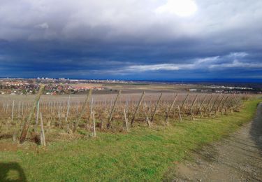
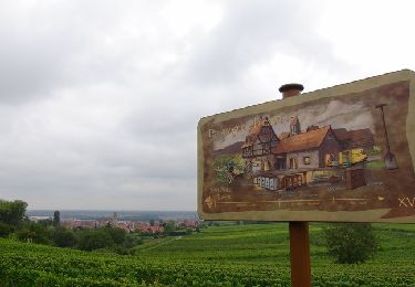
Trail Walking of 51 km to be discovered at Grand Est, Haut-Rhin, Colmar. This trail is proposed by Schaff.
Fort dénivelé sur une courte distance. De l’entraînement est la bienvenue avant d’attaquer ce parcours. Ferme Auberge et Chalet-Hotel pour se nourrir.


Running

Walking
Walking
Walking

Walking
Hybrid bike
Walking

On foot
Walking