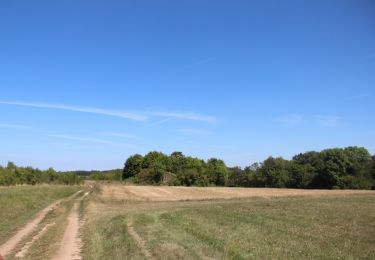
8.8 km | 11.4 km-effort
bulligny pour fin juin 19
ardou5455
User
Length
14.2 km
Boucle
Yes
Creation date :
2019-06-02 12:28:50.244
Updated on :
2019-06-02 15:43:29.303
3h14
Difficulty : Very easy
FREE GPS app for hiking
About
Trail Walking of 14.2 km to be discovered at Grand Est, Meurthe-et-Moselle, Bulligny. This trail is proposed by ardou5455.
Positioning
Country:
France
Region :
Grand Est
Department/Province :
Meurthe-et-Moselle
Municipality :
Bulligny
Location:
Unknown
Start:(Dec)
Start:(UTM)
709669 ; 5384054 (31U) N.
Comments
Trails nearby
Entre Allain et Ochey
Walking
Medium
Allain,
Grand Est,
Meurthe-et-Moselle,
France
13.9 km | 16.3 km-effort
3h 7min
Yes
forêt de Meine
Walking
Easy
Vannes-le-Châtel,
Grand Est,
Meurthe-et-Moselle,
France
9.2 km | 11.7 km-effort
2h 57min
Yes
Allamps
Walking
Medium
Allamps,
Grand Est,
Meurthe-et-Moselle,
France
18.6 km | 22 km-effort
3h 24min
No
bullig
Walking
Medium
Bulligny,
Grand Est,
Meurthe-et-Moselle,
France
7.4 km | 9.5 km-effort
2h 5min
No
Rando des Brasseurs 2014
Mountain bike
Medium
Vannes-le-Châtel,
Grand Est,
Meurthe-et-Moselle,
France
39 km | 49 km-effort
3h 11min
Yes
st fiacre-choloy
Walking
Medium
Rigny-Saint-Martin,
Grand Est,
Meuse,
France
18.6 km | 23 km-effort
3h 56min
Yes
blenod les Toul
Walking
Easy
Blénod-lès-Toul,
Grand Est,
Meurthe-et-Moselle,
France
8.3 km | 10.3 km-effort
2h 50min
Yes
rando 12km vers Bulligny
Walking
Difficult
Blénod-lès-Toul,
Grand Est,
Meurthe-et-Moselle,
France
11.9 km | 15.6 km-effort
1h 36min
Yes