


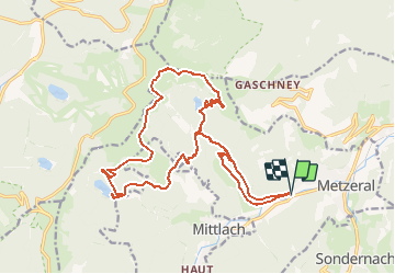

15.1 km | 26 km-effort


User


FREE GPS app for hiking
 SityTrail
IGN / Geographical institutes
SityTrail World
The world is yours!
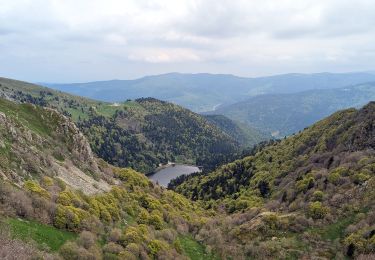
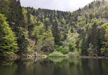
Trail Walking of 21 km to be discovered at Grand Est, Haut-Rhin, Metzeral. This trail is proposed by Fourmis.nf.
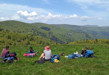
Parcours magnifiques. Prévoir 5 heures de marche 1 heure de repos (repas pause)
Quelques passages difficiles, prévoir de bonnes chaussures de marche, zones rocailleuses et glissantes (ruisseaux abondants)

Walking

Walking

Mountain bike

Mountain bike

Walking

Walking
Walking
Walking
Walking