


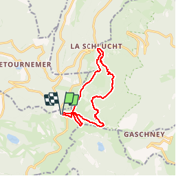

23 km | 36 km-effort

User

FREE GPS app for hiking
 SityTrail
IGN / Geographical institutes
SityTrail World
The world is yours!
Trail Walking of 12 km to be discovered at Grand Est, Vosges, La Bresse. This trail is proposed by margotte.
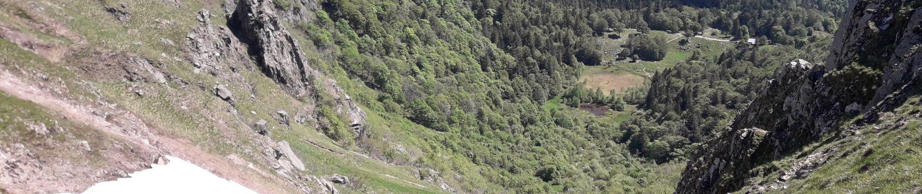
belle journée estivale pour cette randonnée. Nombreux points de vue et paysages ouverts via les Hautes Chaumes. Attention toutefois à être bien chaussé et de ne pas avoir le vertige...


Walking

Walking

Walking

Walking

Walking

Walking

Walking

Walking

Walking