


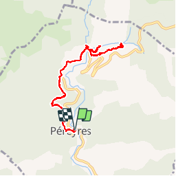

16.1 km | 24 km-effort


User GUIDE


FREE GPS app for hiking
 SityTrail
IGN / Geographical institutes
SityTrail World
The world is yours!
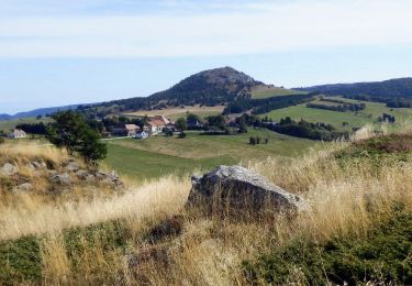
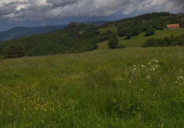
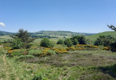
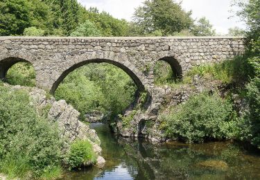
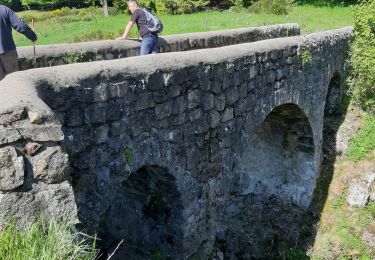
Trail Walking of 9.1 km to be discovered at Auvergne-Rhône-Alpes, Ardèche, Péreyres. This trail is proposed by fredetpascale.
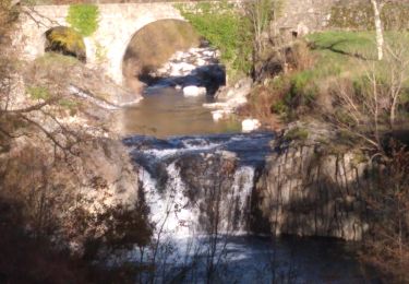
accès cascade interdit mais tout le monde passe. Pas de risque de chute de pierre si on ne fait que les belvédères.
Walking
Walking
Walking
Walking
Walking

Walking
Walking
Walking
Walking