


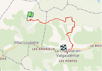

19.8 km | 46 km-effort

User


FREE GPS app for hiking
 SityTrail
IGN / Geographical institutes
SityTrail World
The world is yours!
Trail Walking of 15.3 km to be discovered at Provence-Alpes-Côte d'Azur, Hautes-Alpes, Villar-Loubière. This trail is proposed by ETMU5496.
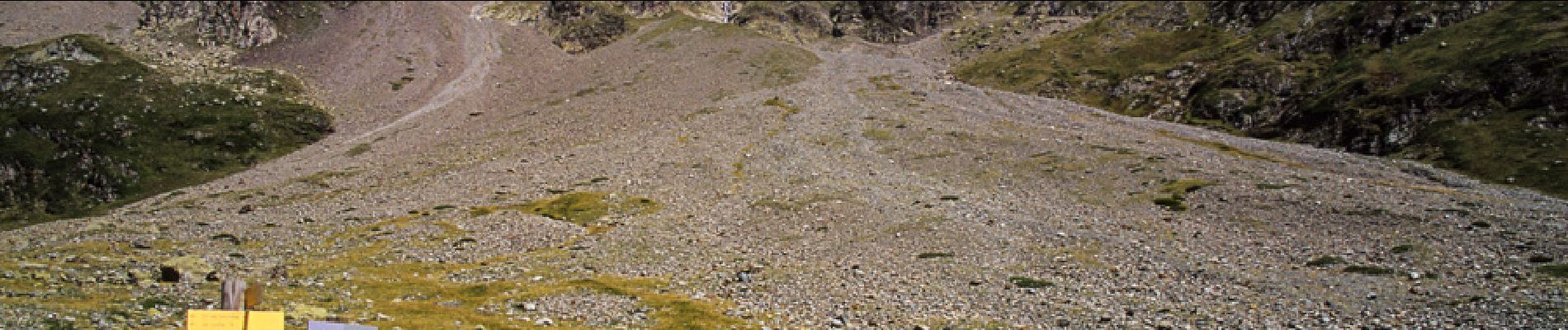
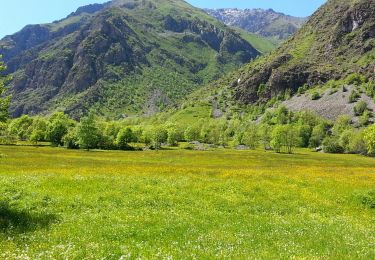
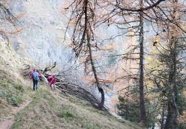
Séjour REV juin 2019 2eme jour Le refuge des souffles col des cochettes le Lautier col de colombes Pas de l'Olan refuge de l'Olan les bourelles la chapelle


Walking

Walking

Walking

Walking

Walking

Walking

Walking
Walking
Walking