


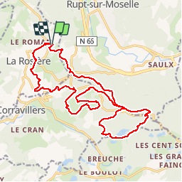

17.2 km | 23 km-effort


User


FREE GPS app for hiking
 SityTrail
IGN / Geographical institutes
SityTrail World
The world is yours!
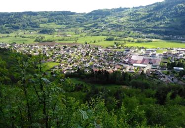
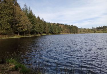
Trail Walking of 22 km to be discovered at Bourgogne-Franche-Comté, Haute-Saône, La Rosière. This trail is proposed by annamaria.
randonnée de 20 km 600 m de dénivelé. très agréable
Walking
Walking
Walking
Other activity
Snowshoes

Running
Walking
Walking
Walking