


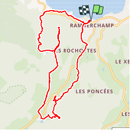

11.3 km | 16.2 km-effort

User


FREE GPS app for hiking
 SityTrail
IGN / Geographical institutes
SityTrail World
The world is yours!
Trail Nordic walking of 11.1 km to be discovered at Grand Est, Vosges, Gérardmer. This trail is proposed by francislassauce.
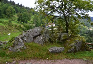
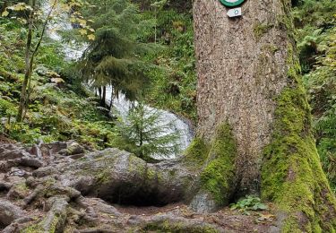
la montée depuis le lac se fait dans les rochers. la pente est assez raide, prévoir de bonnes chaussures.
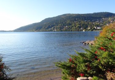
randonnée agréable.
beaucoup de monde a l'observatoire. montée 4 par 4. le temps d'attente peut être très long.


Walking

Walking

Walking

Walking
Mountain bike
Walking
Walking
Walking
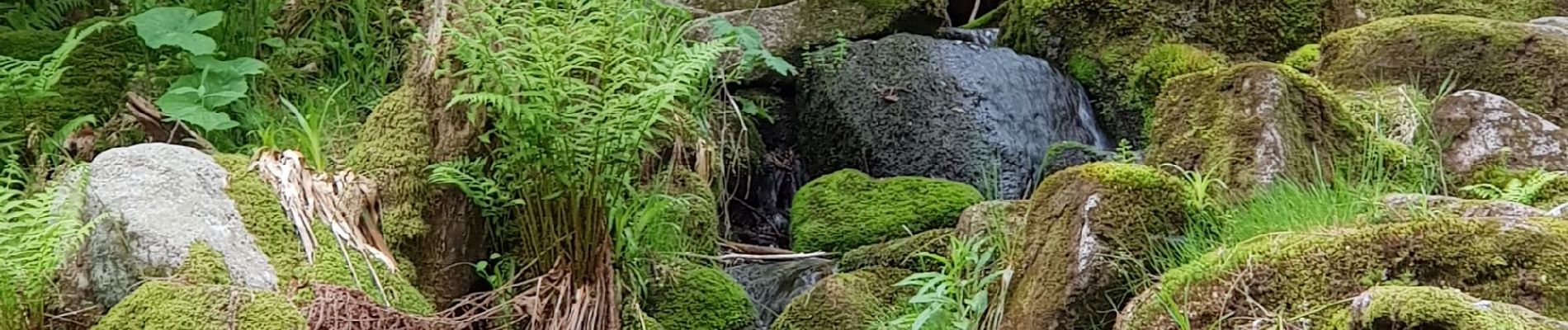
jolie rando ..cascade merelle ..tour merelle... saut de la bourrique.. la fin du parcours le long du cours est magique