


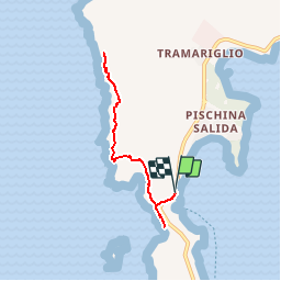

7.6 km | 11 km-effort

Tracés randos


FREE GPS app for hiking
 SityTrail
IGN / Geographical institutes
SityTrail World
The world is yours!
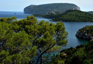
Trail Walking of 6.9 km to be discovered at Sardinia, Sassari, Alghero. This trail is proposed by Vacances.
Rouge (Rother 1) / Prévoir pantalon (maquis)
On foot

On foot

Walking