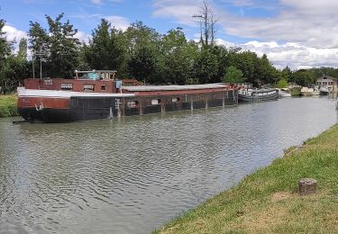
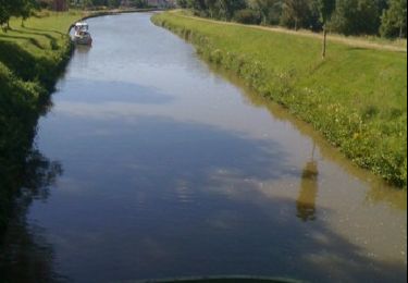
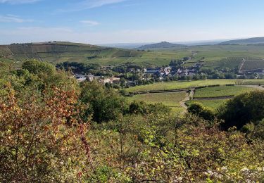
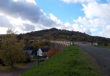
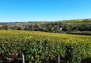
11.5 km | 14 km-effort
Sancerre - Cosne par la Boulaye
rerollea
User
Length
27 km
Max alt
318 m
Uphill gradient
382 m
Km-Effort
33 km
Min alt
137 m
Downhill gradient
475 m
Boucle
No
Creation date :
2014-12-10 00:00:00.0
Updated on :
2014-12-10 00:00:00.0
1h52
Difficulty : Unknown
FREE GPS app for hiking
About
Trail Cycle of 27 km to be discovered at Centre-Loire Valley, Cher, Sancerre. This trail is proposed by rerollea.
Positioning
Country:
France
Region :
Centre-Loire Valley
Department/Province :
Cher
Municipality :
Sancerre
Location:
Unknown
Start:(Dec)
Start:(UTM)
487423 ; 5241769 (31T) N.
Comments
Trails nearby
Saint-Thibault-sur-Loire
Walking
Medium
(1)
Saint-Satur,
Centre-Loire Valley,
Cher,
France
3h 2min
Yes
Randonnée autour de Saint Satur
Walking
Very easy
Saint-Satur,
Centre-Loire Valley,
Cher,
France
11.4 km | 13.9 km-effort
2h 47min
Yes
2010-07-04 - 17h09m03
Cycle
Very easy
Ménétréol-sous-Sancerre,
Centre-Loire Valley,
Cher,
France
46 km | 50 km-effort
Unknown
Yes
randonnée des 3 viaduc
Nordic walking
Easy
Saint-Satur,
Centre-Loire Valley,
Cher,
France
24 km | 29 km-effort
3h 45min
Yes
boucle sury en vaux
Nordic walking
Very easy
Sury-en-Vaux,
Centre-Loire Valley,
Cher,
France
12.1 km | 15.6 km-effort
2h 5min
Yes
menetreol Cosne sur Loire
Road bike
Easy
Ménétréol-sous-Sancerre,
Centre-Loire Valley,
Cher,
France
29 km | 31 km-effort
1h 43min
No
trail Sancerre emb
Trail
Very easy
Sancerre,
Centre-Loire Valley,
Cher,
France
12.3 km | 17.1 km-effort
4h 25min
Yes
u6
Road bike
Very difficult
Saint-Satur,
Centre-Loire Valley,
Cher,
France
51 km | 56 km-effort
3h 10min
No