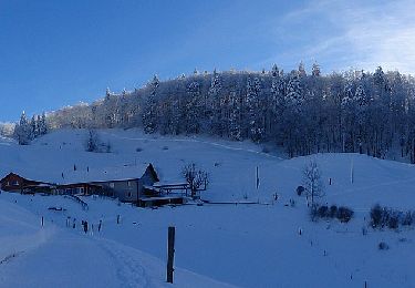
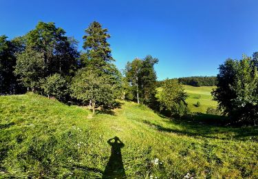
Trail Cycle Bretzwil - 010CH07  2  Bretzwil - Passwang - Photo

010CH07 2 Bretzwil - Passwang

 LCGsell
LCGsell

User

© OpenStreetMap contributors
Length
Length
14 km
Max alt
Max alt
962 m
Uphill gradient
Uphill gradient
642 m
Km-Effort
Km-Effort  
22 km
Min alt
Min alt
624 m
Downhill gradient
Downhill gradient
327 m
Boucle
Boucle
No
Creation date :
2014-12-11 00:00:00.0
Updated on :
2014-12-11 00:00:00.0

(0 Reviews)

Cycle
Cycle
--
Difficulty : Unknown

Scan this QR Code to open this trail in the SityTrail application

FREE GPS app for hiking

Logo SityTrail SityTrail

IGN / Geographical institutes

Download SityTrail from the App Store Download SityTrail from Google Play

Logo SityTrail SityTrail World

The world is yours!

Download SityTrail from the App Store Download SityTrail from Google Play Download SityTrail on Huawei AppGallery

About

Trail Cycle of 14 km to be discovered at Basel-Landschaft, Bezirk Waldenburg, Bretzwil. This trail is proposed by LCGsell.

Description

Zweite Strecke der Etappe 010CH07 von Basel nach Biel
In Bretzwil gerade aus durch, und leicht steigend von Süd nach West drehend über eine kleinen Pass nach Nunnigen hinunter, und vom Zentrum in gleicher Richtung hinauf ans Dorfende. Hier biegt mann links in die kleine Strasse zum Nunnigerberg ab. Schöner Aufstieg in einem weiten Ost nach West Bogen ausholend und mit schöner Aussicht Höhe gewinnen. Auf die Höhe durch den Wald zur Schutzhütte am Kuliminationspunkt. Guter Rastplatz und Ausgangspunkt für schöne Wanderungen ! Vorsicht auf der Abfahrt zur Passwangstrasse. Steine und Kühe sind auf der Fahrbahn möglich. Cattle Grids erfordern Aufmerksamkeit. Am Ende der Abfahrt im Neuhüsli links hinauf in die recht steile Passwangstrasse, die man mit allen 4 Kehren im Blickfeld hat. Darnach ist mann nur vermeintlich oben, aber es steigt nochmals durch den Wald bis zum Pass Tunnel. (Abstecher zur Gastwirtschaft zur Verpflegung, Aussicht oder Wanderung).

Elevation profile

Positioning

Country:
Switzerland
Region :
Basel-Landschaft
Department/Province :
Bezirk Waldenburg
Municipality :
Bretzwil
Location:
Unknown
Start:(UTM)
398344 ; 5250256 (32T) N.

Trails nearby

Trail On foot  - Gondelbahn - Wasserfallen - Photo
On foot
GUIDE+

On foot

Easy
, Basel-Landschaft, Bezirk Waldenburg, Switzerland
4 km | 7.6 km-effort
1h 43min
No
Trail On foot Mümliswil-Ramiswil - Wasserfallen Rochus Kapelle - Mümliswil - Photo
On foot
GUIDE+

On foot

Easy
Mümliswil-Ramiswil, Solothurn, Bezirk Thal, Switzerland
4.2 km | 5.9 km-effort
1h 20min
No
Trail On foot Beinwil (SO) - Neuhüsli - Nunningerberg - Photo
On foot
GUIDE+

On foot

Easy
Beinwil (SO), Solothurn, Bezirk Thierstein, Switzerland
3.3 km | 6 km-effort
1h 22min
No
Trail On foot Lauwil - Bogental - Vogelberg - Photo
On foot
GUIDE+

On foot

Easy
Lauwil, Basel-Landschaft, Bezirk Waldenburg, Switzerland
3.7 km | 7.4 km-effort
1h 40min
No
Trail On foot Lauwil - Passwang - Bogental - Photo
On foot
GUIDE+

On foot

Easy
Lauwil, Basel-Landschaft, Bezirk Waldenburg, Switzerland
3.6 km | 7.7 km-effort
1h 45min
No
Trail Other activity Waldenburg - ST_fede_bs10 - Photo
Other activity
GUIDE+

Other activity

Very easy
Waldenburg, Basel-Landschaft, Bezirk Waldenburg, Switzerland
11.4 km | 18 km-effort
3h 58min
No
Trail Walking Grellingen - Kaltbrunnental: Grellingen BL - Meltingen BL - Photo
Walking
GUIDE+

Walking

Very easy
Grellingen, Basel-Landschaft, Bezirk Laufen, Switzerland
8.9 km | 12.9 km-effort
Unknown
No
Trail Walking Waldenburg - sf09_e1c - Photo
Walking
GUIDE+

Walking

Very easy
Waldenburg, Basel-Landschaft, Bezirk Waldenburg, Switzerland
16.7 km | 26 km-effort
5h 0min
No
Trail Walking Waldenburg - Hinteri egg rando triangle jaune - Photo
Walking
pidjam

Walking

Difficult
Waldenburg, Basel-Landschaft, Bezirk Waldenburg, Switzerland
7.9 km | 13.3 km-effort
3h 1min
Yes


Close
My subscriptions