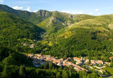
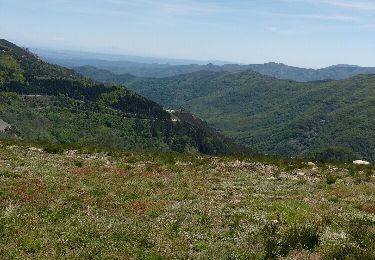
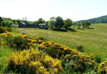
12.7 km | 17.9 km-effort
Boucle Lalligier - Mazan l'Abbaye - Lalligier
phcol
User
Length
13.9 km
Max alt
1266 m
Uphill gradient
472 m
Km-Effort
20 km
Min alt
1063 m
Downhill gradient
473 m
Boucle
Yes
Creation date :
2019-05-22 14:21:35.362
Updated on :
2019-05-22 14:24:49.639
4h13
Difficulty : Difficult
FREE GPS app for hiking
About
Trail Walking of 13.9 km to be discovered at Auvergne-Rhône-Alpes, Ardèche, Mazan-l'Abbaye. This trail is proposed by phcol.
Positioning
Country:
France
Region :
Auvergne-Rhône-Alpes
Department/Province :
Ardèche
Municipality :
Mazan-l'Abbaye
Location:
Unknown
Start:(Dec)
Start:(UTM)
589314 ; 4954897 (31T) N.
Comments
Trails nearby
SityTrail - 2216600 - saintxcirquesxenxmontagne
Walking
Difficult
(1)
Saint-Cirgues-en-Montagne,
Auvergne-Rhône-Alpes,
Ardèche,
France
4h 4min
Yes
Balade Saint cirgues en montagne
Walking
Very easy
(1)
Saint-Cirgues-en-Montagne,
Auvergne-Rhône-Alpes,
Ardèche,
France
15.2 km | 20 km-effort
4h 35min
Yes
2012-06-24 14h24m52 le roux
Walking
Medium
(2)
Le Roux,
Auvergne-Rhône-Alpes,
Ardèche,
France
12.9 km | 19.9 km-effort
3h 31min
Yes
2023-01-26_11h40m10_Rieutord Bauzon Vestide 13km-1
Walking
Difficult
Saint-Cirgues-en-Montagne,
Auvergne-Rhône-Alpes,
Ardèche,
France
12.6 km | 17.6 km-effort
3h 59min
Yes
SityTrail - 2961881 - lalligierxhaute-grace-v2
Walking
Very difficult
Le Roux,
Auvergne-Rhône-Alpes,
Ardèche,
France
14 km | 19.1 km-effort
4h 19min
Yes
Fontaulière-Montpezat sous Bauzon
Walking
Easy
Montpezat-sous-Bauzon,
Auvergne-Rhône-Alpes,
Ardèche,
France
7.6 km | 10.2 km-effort
1h 49min
No
Bas de rieutore
Walking
Very easy
Usclades-et-Rieutord,
Auvergne-Rhône-Alpes,
Ardèche,
France
18.6 km | 28 km-effort
9h 14min
No
trace Le Roux 16-05-16
Walking
Very easy
Le Roux,
Auvergne-Rhône-Alpes,
Ardèche,
France
13 km | 20 km-effort
5h 16min
Yes
Boucle Le Bouteirou - Mont Gerbier de Jonc - Etape 3
Equestrian
Medium
Le Roux,
Auvergne-Rhône-Alpes,
Ardèche,
France
23 km | 30 km-effort
3h 30min
No