15.3 km | 23 km-effort
couvertoirade
andrechauvin
User
Length
17.5 km
Boucle
No
Creation date :
2019-05-21 07:41:51.764
Updated on :
2019-05-21 20:24:55.668
5h50
Difficulty : Medium
FREE GPS app for hiking
About
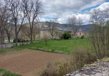
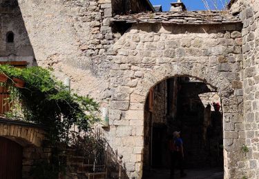
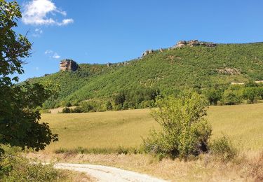
Trail Walking of 17.5 km to be discovered at Occitania, Aveyron, Nant. This trail is proposed by andrechauvin.
Positioning
Country:
France
Region :
Occitania
Department/Province :
Aveyron
Municipality :
Nant
Location:
Unknown
Start:(Dec)
Start:(UTM)
524167 ; 4874414 (31T) N.
Comments
Trails nearby
Le roc nantais
Walking
Medium
Saint-Jean-du-Bruel,
Occitania,
Aveyron,
France
22 km | 32 km-effort
7h 7min
Yes
Montredon
Walking
Easy
(1)
La Roque-Sainte-Marguerite,
Occitania,
Aveyron,
France
9.6 km | 11.5 km-effort
2h 13min
Yes
Cantobre 31-08-21
Walking
Medium
Nant,
Occitania,
Aveyron,
France
15.5 km | 23 km-effort
4h 14min
Yes
de nant à cantobre
Walking
Medium
Nant,
Occitania,
Aveyron,
France
21 km | 32 km-effort
7h 31min
Yes
Montredon Salvage
Walking
Very easy
La Roque-Sainte-Marguerite,
Occitania,
Aveyron,
France
19.9 km | 26 km-effort
8h 25min
No
Trail hopitalier 2016
Running
Very easy
(2)
Nant,
Occitania,
Aveyron,
France
29 km | 45 km-effort
Unknown
Yes
la vallée de la Dourbie
Walking
Difficult
(3)
Saint-Jean-du-Bruel,
Occitania,
Aveyron,
France
19.1 km | 28 km-effort
5h 48min
Yes