
galamus

cappelle
User

Length
16.8 km

Max alt
919 m

Uphill gradient
844 m

Km-Effort
28 km

Min alt
322 m

Downhill gradient
843 m
Boucle
Yes
Creation date :
2019-05-21 07:45:47.382
Updated on :
2019-05-22 06:55:21.079
7h30
Difficulty : Medium

FREE GPS app for hiking
About
Trail Walking of 16.8 km to be discovered at Occitania, Pyrénées-Orientales, Saint-Paul-de-Fenouillet. This trail is proposed by cappelle.
Description
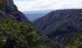
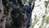
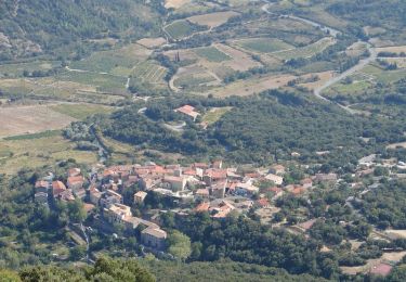
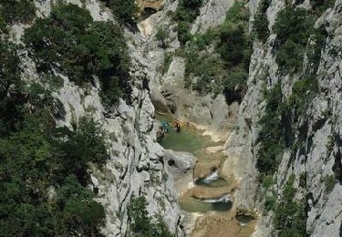
belle rando avec de tres belles vue sur les Pyrénées et la vallée , les gorges sont superbes , montée difficile pour randonneur peu entrainé .
IBP index 79
Positioning
Country:
France
Region :
Occitania
Department/Province :
Pyrénées-Orientales
Municipality :
Saint-Paul-de-Fenouillet
Location:
Unknown
Start:(Dec)
Start:(UTM)
458384 ; 4742683 (31T) N.
Comments
Trails nearby

Ermitage de Galamus


Walking
Easy
Saint-Paul-de-Fenouillet,
Occitania,
Pyrénées-Orientales,
France

1.3 km | 2.3 km-effort
26min
Yes
La Quille


Walking
Very difficult
Saint-Paul-de-Fenouillet,
Occitania,
Pyrénées-Orientales,
France

16.9 km | 29 km-effort
6h 23min
No
Autour des gorges de Galamus


Walking
Very difficult
Saint-Paul-de-Fenouillet,
Occitania,
Pyrénées-Orientales,
France

12.4 km | 22 km-effort
6h 28min
Yes
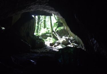
roc paradet


Walking
Very difficult
Prugnanes,
Occitania,
Pyrénées-Orientales,
France

11.3 km | 19.4 km-effort
5h 58min
Yes
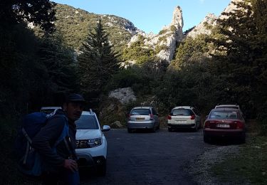
st Paul de fenouinlet / col lenty et retour


Walking
Difficult
Saint-Paul-de-Fenouillet,
Occitania,
Pyrénées-Orientales,
France

9.6 km | 15.6 km-effort
2h 59min
Yes
Prugnanes Roc Paradet


Walking
Medium
Prugnanes,
Occitania,
Pyrénées-Orientales,
France

11.2 km | 19.4 km-effort
3h 56min
Yes
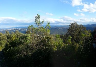
Gorges galamus-Nissol_T


Walking
Medium
Saint-Paul-de-Fenouillet,
Occitania,
Pyrénées-Orientales,
France

13.8 km | 22 km-effort
4h 40min
Yes
Sentier Cathare - De Cubières à Duilhac sous Peyrepertuse


Walking
Difficult
Cubières-sur-Cinoble,
Occitania,
Aude,
France

16.1 km | 23 km-effort
6h 30min
No
Gorges de Galamus par Nissol


Walking
Difficult
(2)
Camps-sur-l'Agly,
Occitania,
Aude,
France

14.9 km | 24 km-effort
5h 0min
No


 SityTrail


