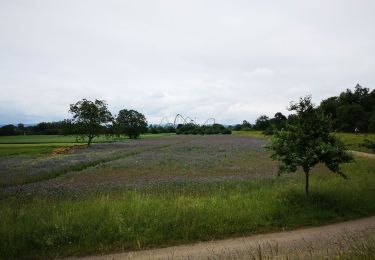
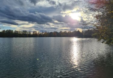
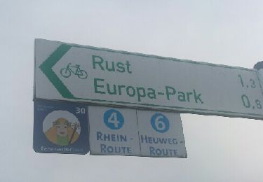
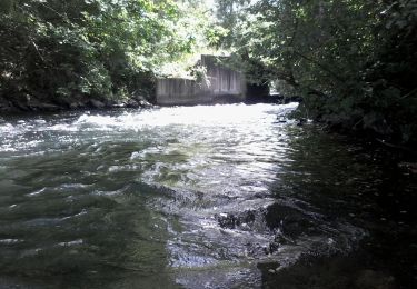
Trail Cycle Boofzheim - BL976 - Jungle rhénane - Photo

BL976 - Jungle rhénane

 jackber
jackber

User

© OpenStreetMap contributors
Length
Length
43 km
Max alt
Max alt
181 m
Uphill gradient
Uphill gradient
313 m
Km-Effort
Km-Effort  
47 km
Min alt
Min alt
153 m
Downhill gradient
Downhill gradient
313 m
Boucle
Boucle
Yes
Creation date :
2019-05-20 08:05:26.324
Updated on :
2019-05-20 08:05:51.081

(0 Reviews)

Cycle
Cycle
--
Difficulty : Very easy

Scan this QR Code to open this trail in the SityTrail application

FREE GPS app for hiking

Logo SityTrail SityTrail

IGN / Geographical institutes

Download SityTrail from the App Store Download SityTrail from Google Play

Logo SityTrail SityTrail World

The world is yours!

Download SityTrail from the App Store Download SityTrail from Google Play Download SityTrail on Huawei AppGallery

About

Trail Cycle of 43 km to be discovered at Grand Est, Bas-Rhin, Boofzheim. This trail is proposed by jackber.

Elevation profile

Positioning

Country:
France
Region :
Grand Est
Department/Province :
Bas-Rhin
Municipality :
Boofzheim
Location:
Unknown
Start:(UTM)
400999 ; 5354645 (32U) N.

Trails nearby

Trail Equestrian Friesenheim - 2015-04-06 Balade des allées cavalieres - Photo
Equestrian
GUIDE
holtzv

Equestrian

Easy
(1)
Friesenheim, Grand Est, Bas-Rhin, France
32 km | 34 km-effort
5h 9min
Yes
Trail Equestrian Herbsheim - Daubensand 01-11-2013 - Photo
Equestrian
sophie.borjon

Equestrian

Very easy
(1)
Herbsheim, Grand Est, Bas-Rhin, France
37 km | 40 km-effort
5h 24min
Yes
Trail Horseback riding Rossfeld - Boucle Rossfeld Huttenheim Chapelle Saint Materne - Photo
Horseback riding
GUIDE+

Horseback riding

Easy
Rossfeld, Grand Est, Bas-Rhin, France
24 km | 26 km-effort
1h 52min
Yes
Trail Hybrid bike Friesenheim - bac rhinau - Photo
Hybrid bike
jackber

Hybrid bike

Very easy
Friesenheim, Grand Est, Bas-Rhin, France
47 km | 51 km-effort
6h 26min
Yes
Trail Walking Rhinau - Sentier des sources - Photo
Walking
Claudele

Walking

Very easy
(2)
Rhinau, Grand Est, Bas-Rhin, France
12.6 km | 13.6 km-effort
4h 27min
Yes
Trail Walking Benfeld - Chapelle Saint Materne - Photo
Walking
Claudele

Walking

Very easy
(1)
Benfeld, Grand Est, Bas-Rhin, France
11.1 km | 12.1 km-effort
4h 26min
Yes
Trail Walking Rheinau/Rhinau - Du Bac de Rhinau à Rust - Photo
Walking
Claudele

Walking

Very easy
Rheinau/Rhinau, Baden-Württemberg, Ortenaukreis, Germany
7.4 km | 7.9 km-effort
1h 25min
No
Trail Canoe - kayak Rhinau - Canoé-brunnwasser en canoé - Photo
Canoe - kayak
benoit747

Canoe - kayak

Very easy
Rhinau, Grand Est, Bas-Rhin, France
7 km | 7.5 km-effort
2h 0min
No
Trail Equestrian Friesenheim - 2013-06-05 Balade avec Laurent - Photo
Equestrian
GUIDE
holtzv

Equestrian

Very easy
Friesenheim, Grand Est, Bas-Rhin, France
11.9 km | 13.1 km-effort
1h 30min
Yes


Close
My subscriptions