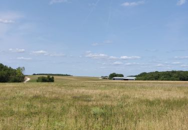
28 km | 33 km-effort
entre-canches-et-marais (2)
c.chehere
User
Length
13.6 km
Max alt
127 m
Uphill gradient
148 m
Km-Effort
15.6 km
Min alt
69 m
Downhill gradient
148 m
Boucle
Yes
Creation date :
2019-05-20 07:52:55.827
Updated on :
2019-05-20 07:56:08.803
FREE GPS app for hiking
About
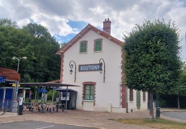
Trail of 13.6 km to be discovered at Ile-de-France, Seine-et-Marne, Nanteau-sur-Essonne. This trail is proposed by c.chehere.
Positioning
Country:
France
Region :
Ile-de-France
Department/Province :
Seine-et-Marne
Municipality :
Nanteau-sur-Essonne
Location:
Unknown
Start:(Dec)
Start:(UTM)
456849 ; 5351653 (31U) N.
Comments
Trails nearby
Le tour du Grand Paris via le GR1 étape 15 Malesherbes- Boutigny sur Essonne
Walking
Easy
Le Malesherbois,
Centre-Loire Valley,
Loiret,
France
5h 58min
No
Buno-Bonneveaux - Polissoir de Grimery
Walking
Medium
Buno-Bonnevaux,
Ile-de-France,
Essonne,
France
7.5 km | 8.9 km-effort
2h 0min
Yes
Buneau-Bonnevaux Menhir de la pierre droite
Walking
Easy
Buno-Bonnevaux,
Ile-de-France,
Essonne,
France
12.2 km | 13.9 km-effort
3h 9min
Yes
Enduro VTT de Buthiers 2006
Mountain bike
Very difficult
Buthiers,
Ile-de-France,
Seine-et-Marne,
France
36 km | 44 km-effort
3h 0min
Yes
VTT 25 juin 2024
Mountain bike
Easy
Prunay-sur-Essonne,
Ile-de-France,
Essonne,
France
13 km | 14.3 km-effort
1h 32min
Yes
16 jun 2024
Canoe - kayak
Very easy
Prunay-sur-Essonne,
Ile-de-France,
Essonne,
France
10.9 km | 12.1 km-effort
51min
Yes
17 oct 2923
Mountain bike
Very easy
Prunay-sur-Essonne,
Ile-de-France,
Essonne,
France
13.4 km | 15 km-effort
1h 31min
Yes
VTT 26 juin 2023
Mountain bike
Medium
Prunay-sur-Essonne,
Ile-de-France,
Essonne,
France
18.9 km | 21 km-effort
2h 10min
Yes
Boigneville
Walking
Difficult
Boigneville,
Ile-de-France,
Essonne,
France
12.9 km | 14.8 km-effort
3h 17min
Yes