


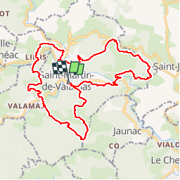

9.3 km | 14 km-effort

User


FREE GPS app for hiking
 SityTrail
IGN / Geographical institutes
SityTrail World
The world is yours!
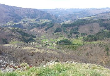
Trail Walking of 24 km to be discovered at Auvergne-Rhône-Alpes, Ardèche, Saint-Martin-de-Valamas. This trail is proposed by bernadette revoux.
De pierres et d'or. Rando organisée par l'association "chemins oubliés des Boutières"
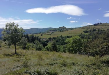
De plaines en forêt, de vallons en collines. La montagne est belle (Jean Ferrat)


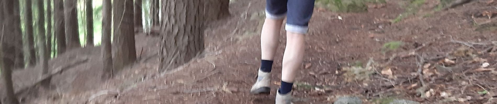
Walking

Walking

Walking
Walking
Walking
Running
Walking
Walking
Walking