


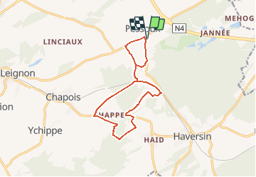

18.9 km | 24 km-effort


User


FREE GPS app for hiking
 SityTrail
IGN / Geographical institutes
SityTrail World
The world is yours!
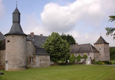
Trail Walking of 11.9 km to be discovered at Wallonia, Namur, Ciney. This trail is proposed by r.genette.
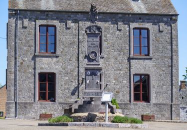
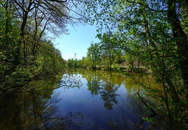
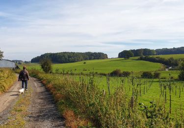
Au départ du foot de Pessoux, traverser un bois sans repère, nous irons vers le pont sur La SNCB… longer un pré vers Fontaine Libions… chemin qui nous conduit vers la nationale et le clos d'équarrissage. Direction des étangs de Happe et retour par une partie commune.
Walking

Walking
Walking
Walking
On foot
On foot
On foot
Walking
