


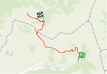

16.3 km | 30 km-effort


User


FREE GPS app for hiking
 SityTrail
IGN / Geographical institutes
SityTrail World
The world is yours!
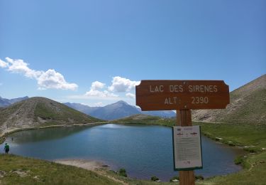
Trail Walking of 16.2 km to be discovered at Provence-Alpes-Côte d'Azur, Hautes-Alpes, Champoléon. This trail is proposed by gilbinrod.
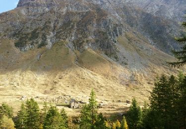
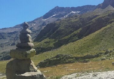
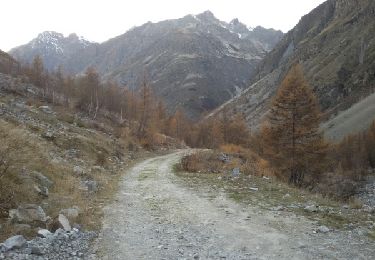
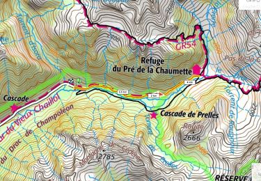
GR54 entre Pré de la Chaumette et Vallonpierre. Petit détour au Pic de Vallonpierre pour le picnic (et la vue), puis arricé au refuge au col des Cheverettes et Pic de Vallon Clos.

Walking

Walking
Walking
Walking
Walking

Walking
Walking
Walking
Walking