


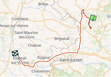

67 km | 78 km-effort

Recherche Utilitaire


FREE GPS app for hiking
 SityTrail
IGN / Geographical institutes
SityTrail World
The world is yours!
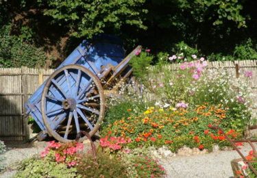
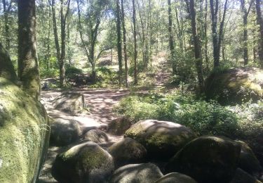
Trail Walking of 59 km to be discovered at New Aquitaine, Haute-Vienne, Cieux. This trail is proposed by Amicale Canine du Boulou.

Motor
Walking
Walking

Cycle
Equestrian

Mountain bike

Walking
Horseback riding

Walking