


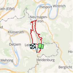

12.1 km | 16.6 km-effort

User GUIDE

FREE GPS app for hiking
 SityTrail
IGN / Geographical institutes
SityTrail World
The world is yours!
Trail Walking of 19.7 km to be discovered at Rhineland-Palatinate, Landkreis Trier-Saarburg, Leiwen. This trail is proposed by rvapeldo.
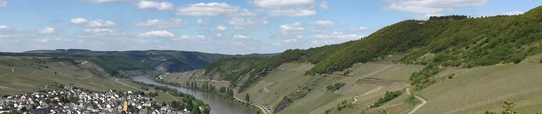
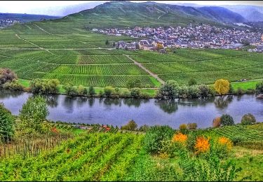
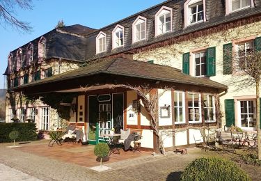
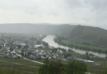
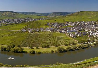
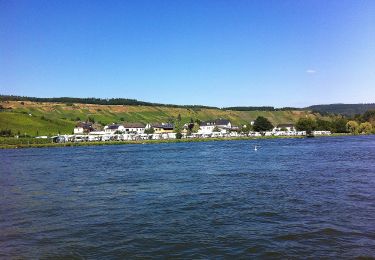
Randonnée d’une petite journée, au départ du parking situé à Zummeterhof, dans les hauteurs de Leiwin. Elle relie Neumagen pour revenir via Trittenheim,de l’autre côté de la Moselle, avant une remontée un peu raide. Très belle balade mêlant le passage dans les vignobles, avec une belle vue sur la Moselle, dans des bois avec parfois des passages un peu plus raides (avec cordes), mais pas trop difficiles. Et un passage dans le village de Neumagen, très intéressant (haut lieu de fouilles romaines), où il y a moyen de se restaurer ou d’acheter un sandwich. Puis retour de l’autre côté de la Moselle. Ce parcours mixe sans le vouloir divers sentiers (Mosselsteig, Zuweg,...).


On foot
On foot
On foot
Walking

Walking
On foot

On foot

On foot
On foot