26 km | 32 km-effort
Le sentier GR 34
mariedelustin
User
Length
156 km
Max alt
114 m
Uphill gradient
3473 m
Km-Effort
202 km
Min alt
-2 m
Downhill gradient
3469 m
Boucle
No
Creation date :
2019-05-12 08:52:01.31
Updated on :
2019-05-12 08:52:01.31
--
Difficulty : Unknown
FREE GPS app for hiking
About
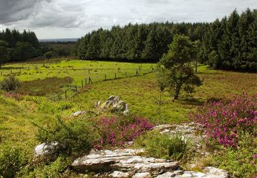
Trail Walking of 156 km to be discovered at Brittany, Finistère, Le Faou. This trail is proposed by mariedelustin.
Positioning
Country:
France
Region :
Brittany
Department/Province :
Finistère
Municipality :
Le Faou
Location:
Unknown
Start:(Dec)
Start:(UTM)
412377 ; 5349823 (30U) N.
Comments
Trails nearby
Troiad ar Vadalen
On foot
Easy
Hanvec,
Brittany,
Finistère,
France
9 km | 11.3 km-effort
2h 33min
No
Visite express du centre historique de Le Faou
Walking
Very easy
Le Faou,
Brittany,
Finistère,
France
2.3 km | 2.5 km-effort
33min
Yes
GRP_Crozon_CB_01_Le-Faou_Argol_20200919
Walking
Medium
Le Faou,
Brittany,
Finistère,
France
15.9 km | 21 km-effort
4h 31min
No
La randonnée du Faou
Walking
Medium
Le Faou,
Brittany,
Finistère,
France
9.4 km | 11.6 km-effort
3h 37min
Yes
L'Hôpital-Camfrout. vers moulin mer
Walking
Difficult
Hôpital-Camfrout,
Brittany,
Finistère,
France
11.3 km | 13.2 km-effort
2h 2min
Yes
GR_37_FC_14_Le-Faou_Argol_20200919
Walking
Medium
Le Faou,
Brittany,
Finistère,
France
15.9 km | 21 km-effort
4h 31min
No
2020-09-01_19h30m58_Piste_2020-08-30 174242
Walking
Medium
Le Faou,
Brittany,
Finistère,
France
22 km | 28 km-effort
5h 25min
Yes
Le Faou - 2.1km 15m 40mn - 2019 09 12
Walking
Very easy
Le Faou,
Brittany,
Finistère,
France
2.1 km | 2.3 km-effort
40min
Yes