


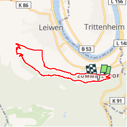

12.1 km | 16.6 km-effort

User GUIDE


FREE GPS app for hiking
 SityTrail
IGN / Geographical institutes
SityTrail World
The world is yours!
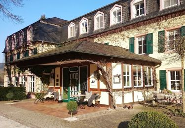
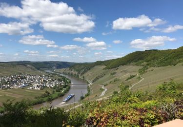
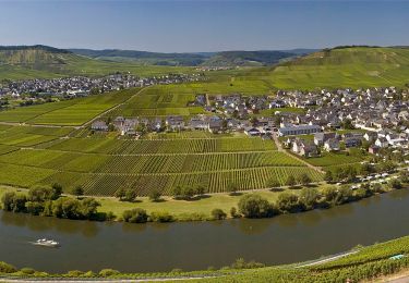
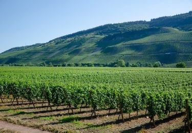
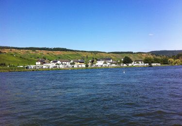
Trail Walking of 6.7 km to be discovered at Rhineland-Palatinate, Landkreis Trier-Saarburg, Leiwen. This trail is proposed by rvapeldo.
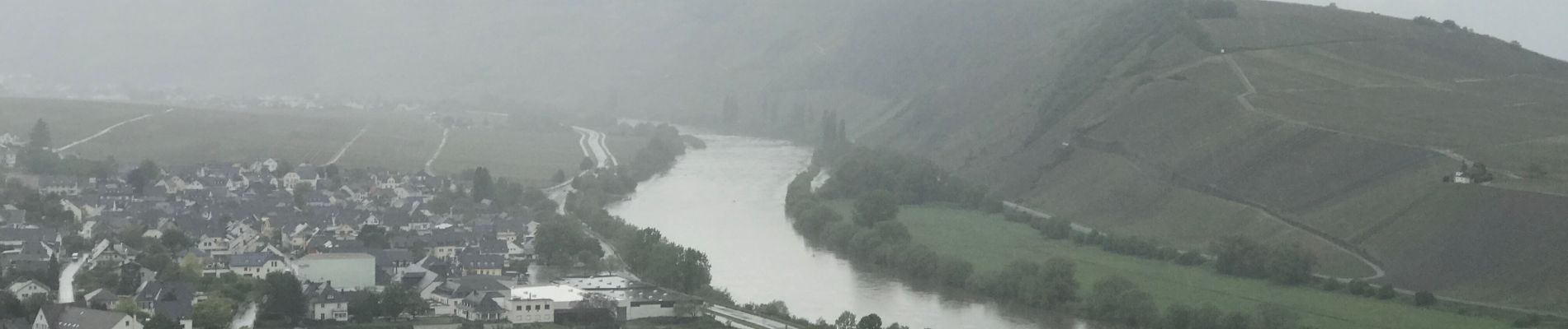
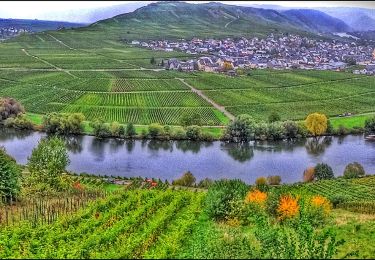
Promenade dans les hauteurs de Leiwin, au départ d’une zone où il y a des hôtels et des logements de type weingug (vignerons). Il démarre en crête dans les bois, puis serpente dans les vignes, en passant par une charmante chapelle.


On foot
On foot
On foot
Walking

Walking
On foot
On foot
On foot
On foot