


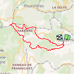


18.1 km | 28 km-effort

User GUIDE


FREE GPS app for hiking
 SityTrail
IGN / Geographical institutes
SityTrail World
The world is yours!
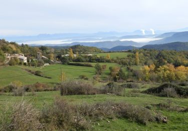
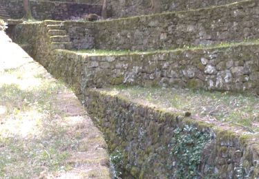
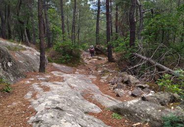
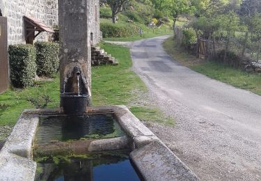
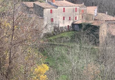
Trail Walking of 18.3 km to be discovered at Auvergne-Rhône-Alpes, Ardèche, Saint-Priest. This trail is proposed by randodyssée.
bcp hors sentier
éviter serre de suson : pas de sentier et ronce à la descente.Prendre le balisage
10 05 19
sylv jackie gene


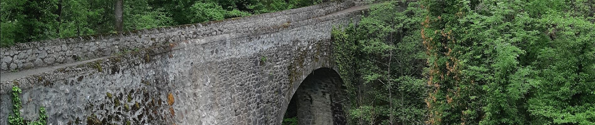
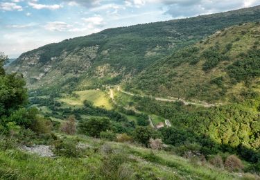
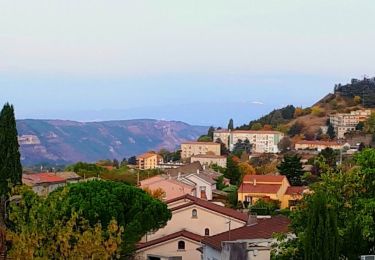
21 photos in total. Please click on a photo to see them all in the gallery.

Walking
Walking
Walking
Walking
Walking

Walking
Walking
Walking
Walking