


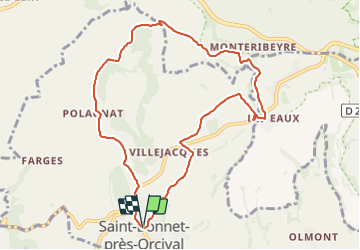


10.7 km | 13.2 km-effort

User GUIDE


FREE GPS app for hiking
 SityTrail
IGN / Geographical institutes
SityTrail World
The world is yours!
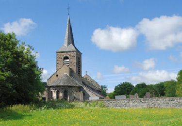
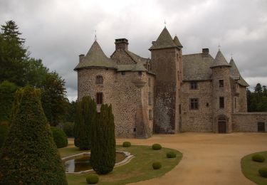
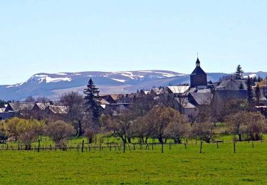
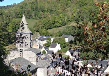
Trail Walking of 9.4 km to be discovered at Auvergne-Rhône-Alpes, Puy-de-Dôme, Saint-Bonnet-près-Orcival. This trail is proposed by jagarnier.
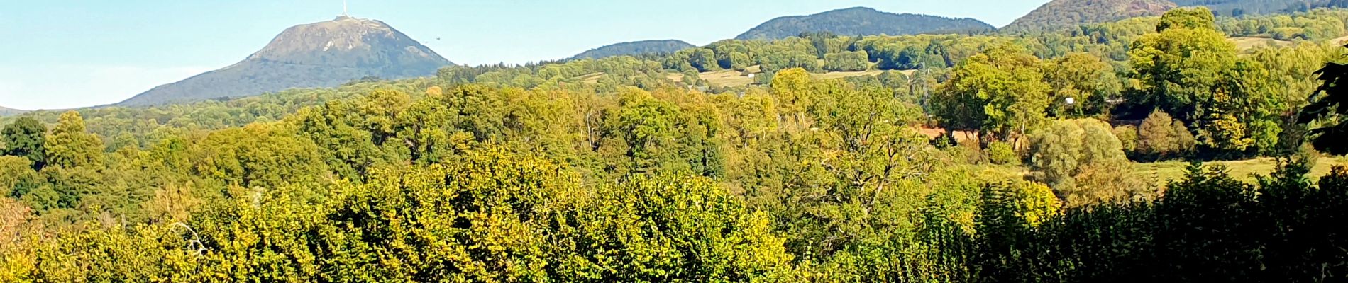
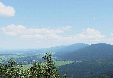
La randonnée se fait à entre les volcans de la chaîne des Puys et ceux des monts Dore. Vous traverserez la Sioule, rivière magnifique qui offre une bouffée de nature et des affleurements d’orgues basaltiques, des sous-bois, des gorges et de belles vues.

Walking

Walking
On foot
On foot
On foot

On foot
On foot
Walking
Walking