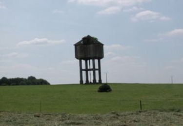
11.8 km | 13.9 km-effort
Spincourt 05-05-19
patdecosnes
User
Length
13.4 km
Max alt
287 m
Uphill gradient
167 m
Km-Effort
15.7 km
Min alt
228 m
Downhill gradient
166 m
Boucle
Yes
Creation date :
2019-05-05 07:08:46.335
Updated on :
2019-05-05 12:35:09.394
2h40
Difficulty : Very easy
FREE GPS app for hiking
About
Trail Walking of 13.4 km to be discovered at Grand Est, Meuse, Spincourt. This trail is proposed by patdecosnes.
Description
marche populaire
Positioning
Country:
France
Region :
Grand Est
Department/Province :
Meuse
Municipality :
Spincourt
Location:
Unknown
Start:(Dec)
Start:(UTM)
693974 ; 5467340 (31U) N.
Comments
Trails nearby
Le temps où l'on faillou la Buaië - Spincourt
Cycle
Medium
Spincourt,
Grand Est,
Meuse,
France
40 km | 45 km-effort
2h 15min
Yes
Chemin de Forbeuvillers - Loison
Walking
Difficult
Loison,
Grand Est,
Meuse,
France
12.3 km | 13.5 km-effort
3h 4min
Yes
Vaudoncourt 13-02-20
Walking
Easy
Vaudoncourt,
Grand Est,
Meuse,
France
9.9 km | 10.8 km-effort
2h 44min
Yes
Muzeray 05-12-19
Walking
Very easy
Muzeray,
Grand Est,
Meuse,
France
10.8 km | 12.6 km-effort
3h 0min
Yes
Spincourt 03-10-19
Walking
Very easy
Spincourt,
Grand Est,
Meuse,
France
9.9 km | 11.5 km-effort
2h 23min
Yes
Vaudoncourt 07-10-18
Walking
Very easy
Vaudoncourt,
Grand Est,
Meuse,
France
5.7 km | 6.2 km-effort
1h 28min
Yes