


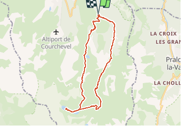

11.4 km | 24 km-effort


User GUIDE


FREE GPS app for hiking
 SityTrail
IGN / Geographical institutes
SityTrail World
The world is yours!
Trail Walking of 18 km to be discovered at Auvergne-Rhône-Alpes, Savoy, Courchevel. This trail is proposed by rvapeldo.
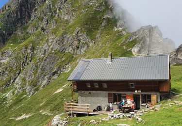
Très beaux lacs glaciaires, deux refuges proches. Vue éblouissante sur le retour mais passage par les pistes avant la descente vers le point de départ. Difficulté moyenne. Possibilité de faire un stop à un refuge puis faite le petit Mont Blanc.

Walking

Walking

Walking

Walking

Walking
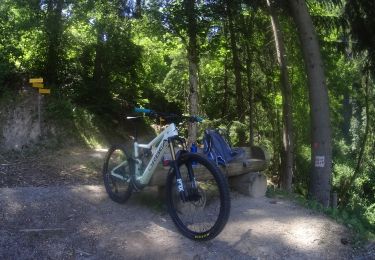
Mountain bike
Walking

Walking
Walking
Très belle vue au retour sur le mont blanc, jolie balade !!