


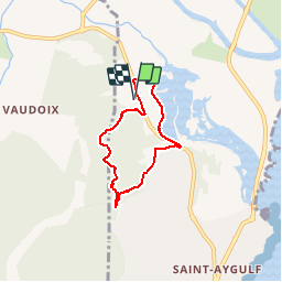

6.5 km | 7 km-effort


User


FREE GPS app for hiking
 SityTrail
IGN / Geographical institutes
SityTrail World
The world is yours!
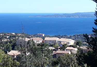
Trail Walking of 5.5 km to be discovered at Provence-Alpes-Côte d'Azur, Var, Fréjus. This trail is proposed by Templeuveenmarche.
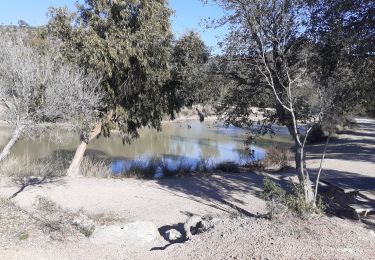
au départ delà résidence Odalys Les Eucalyptus randonnée sur les petites Maures et une partie des étangs de Villepey

Walking

Electric bike
Mountain bike

Walking
Walking

Mountain bike
Walking
Walking
Mountain bike